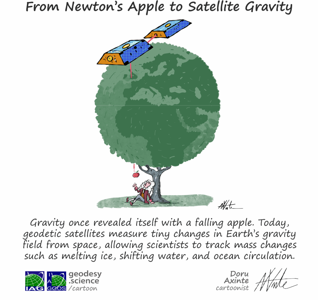
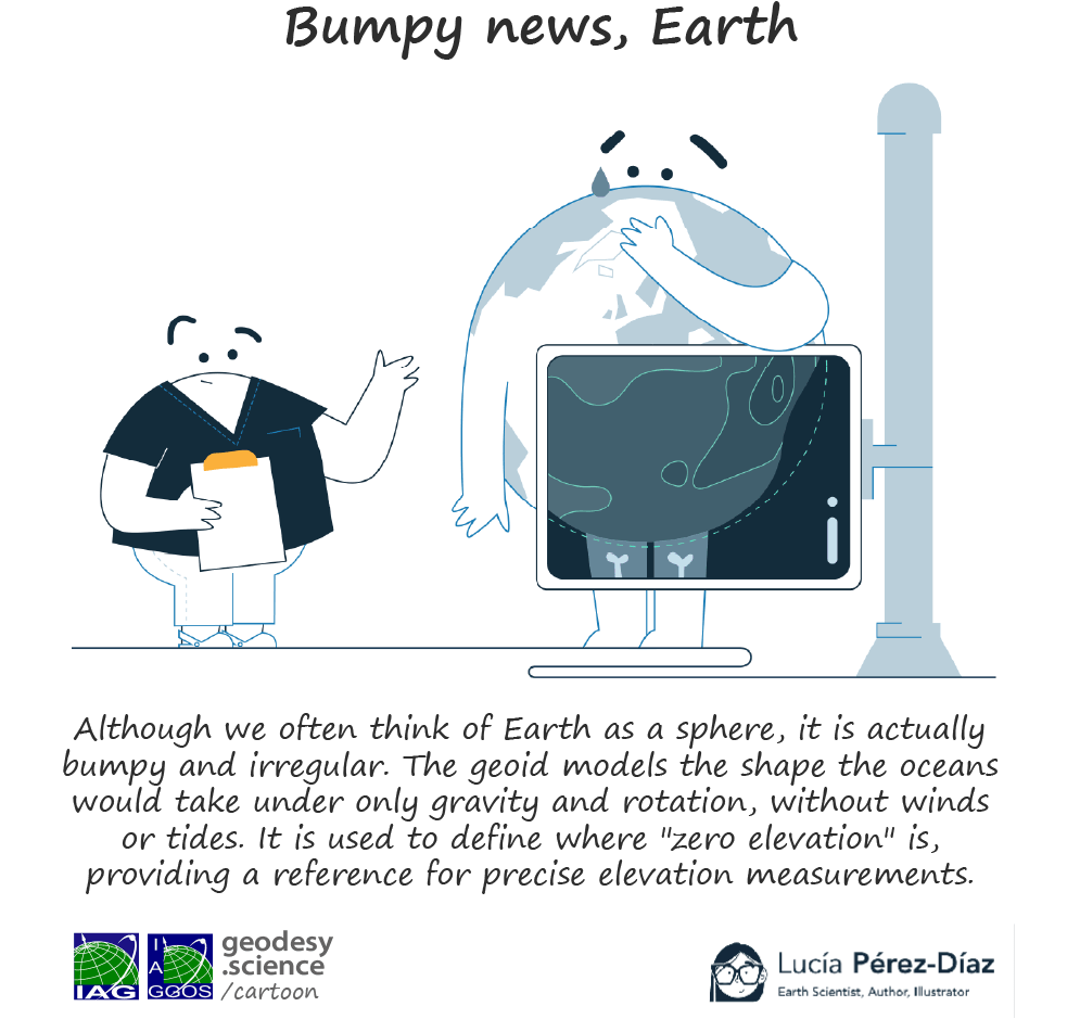
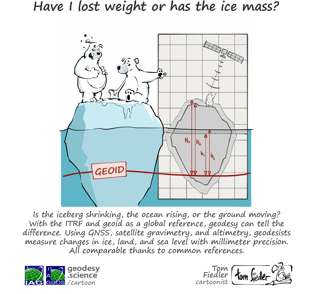
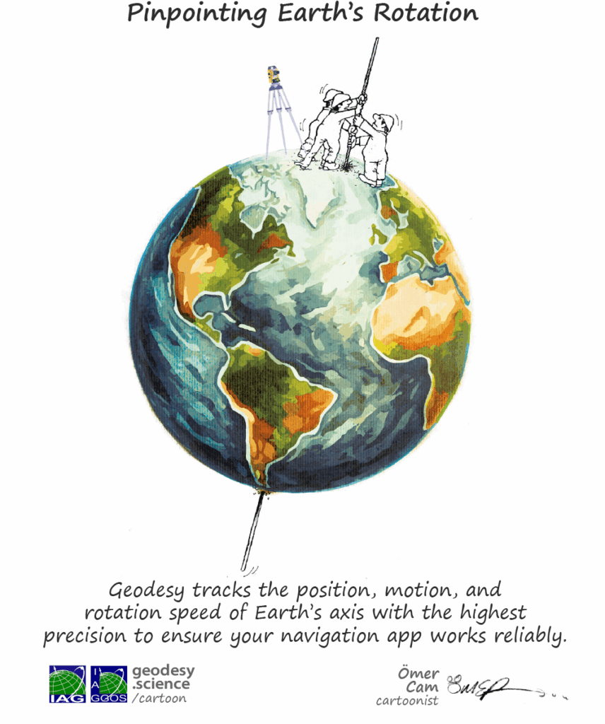
Geodesy Cartoons
Discover Geodesy with a Smile



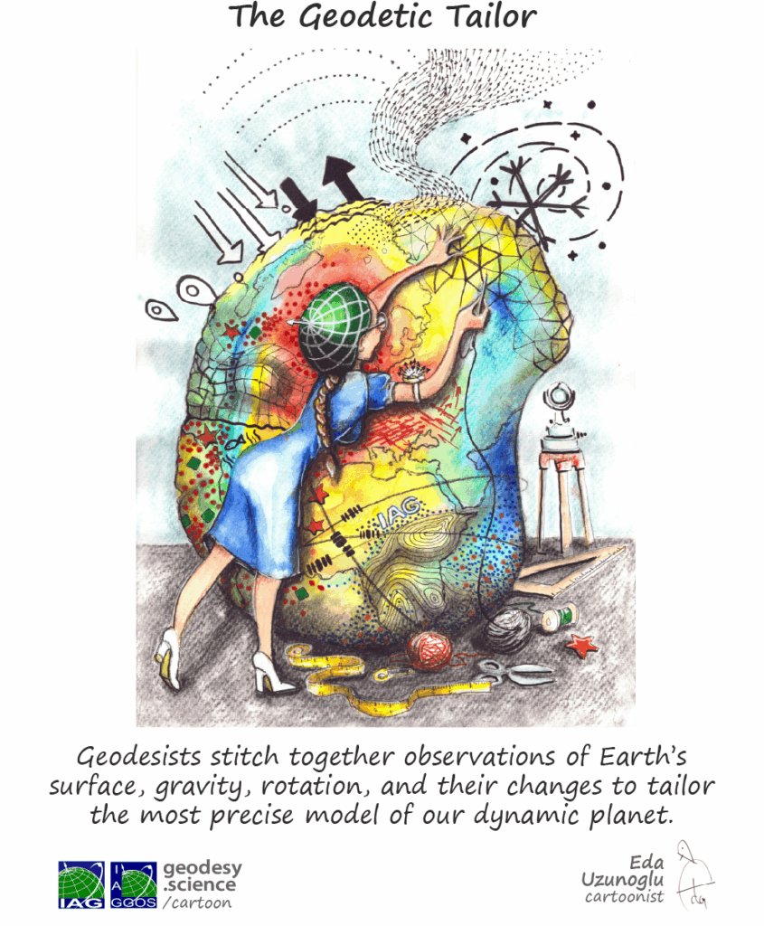
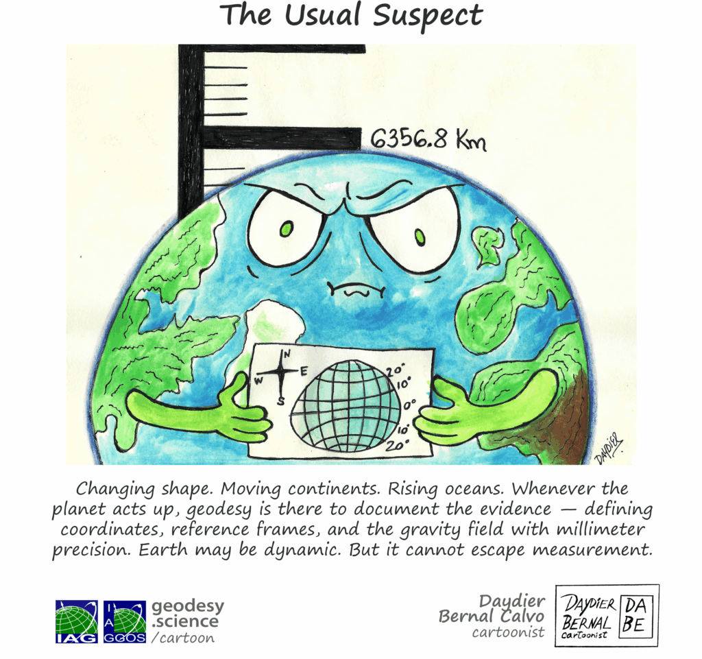
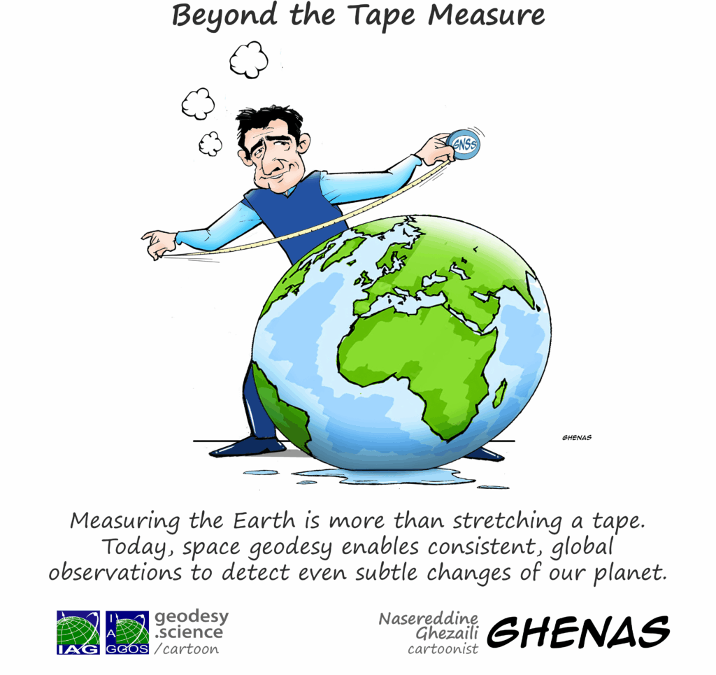
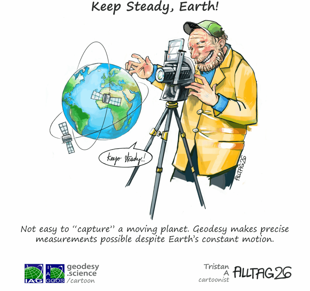
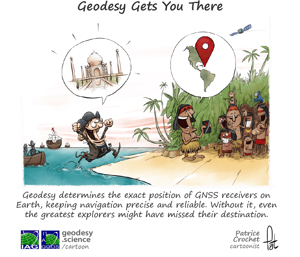
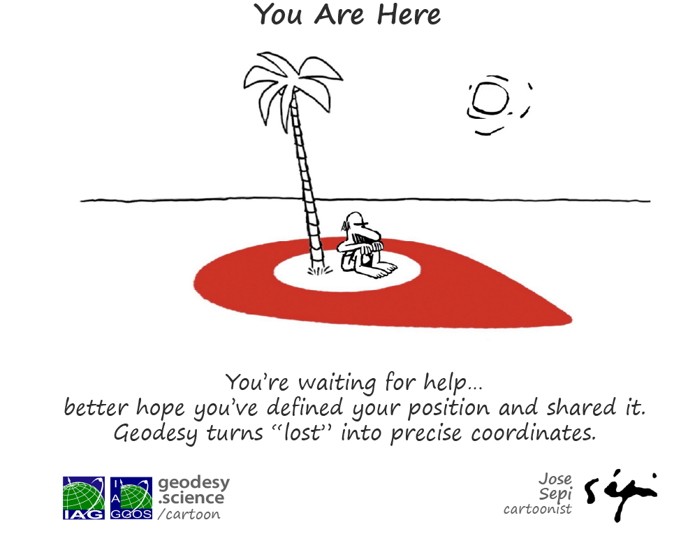
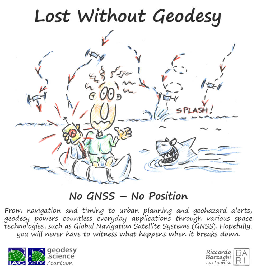
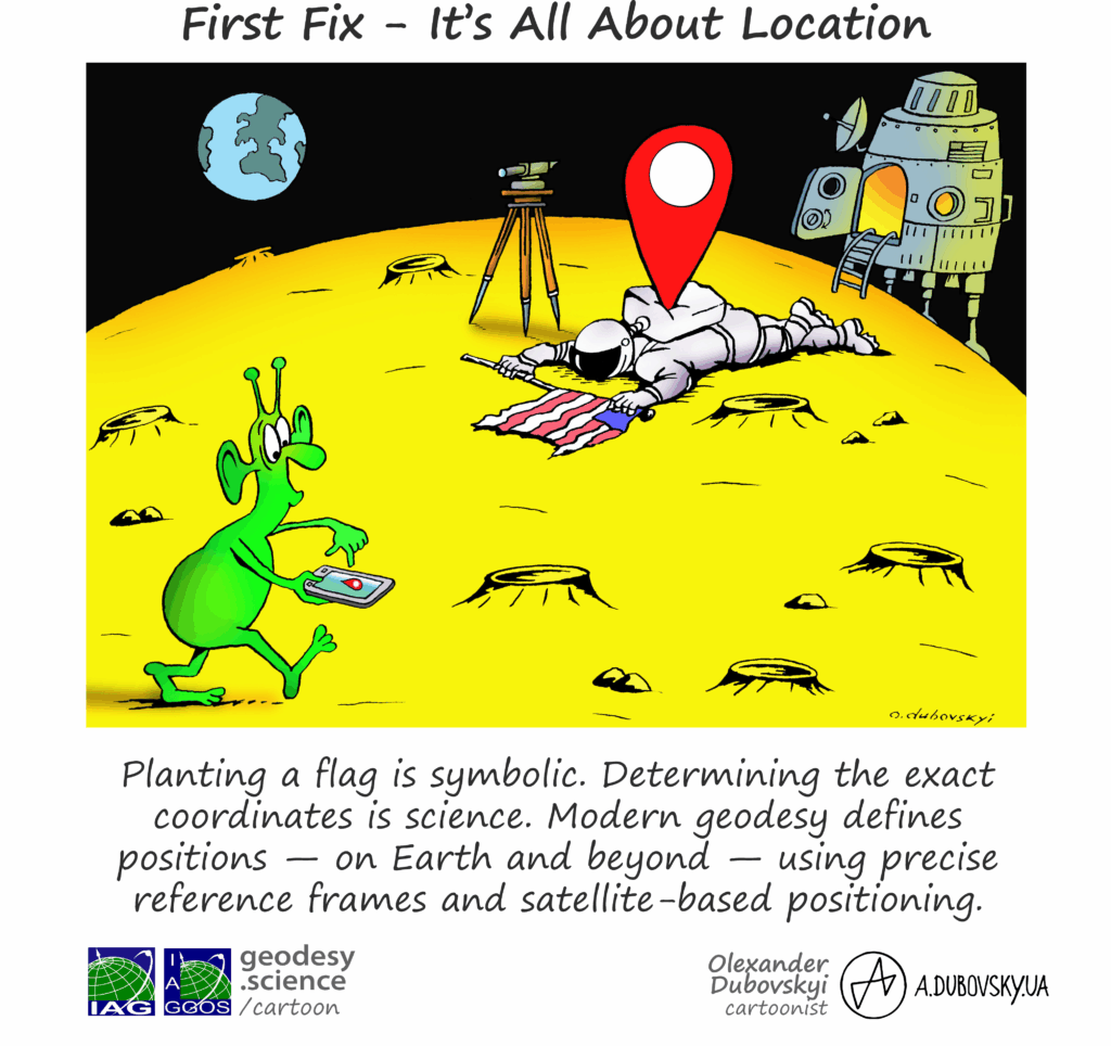
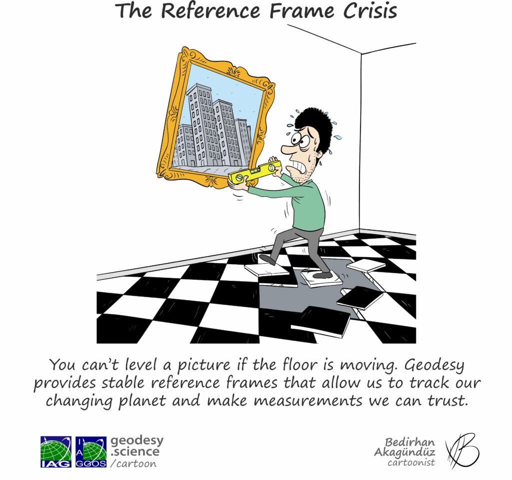
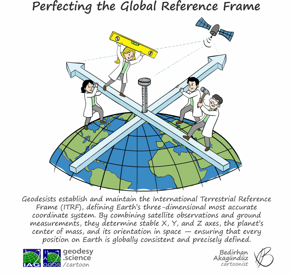
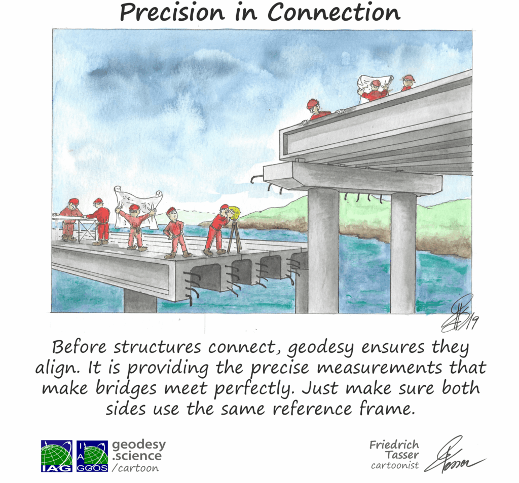
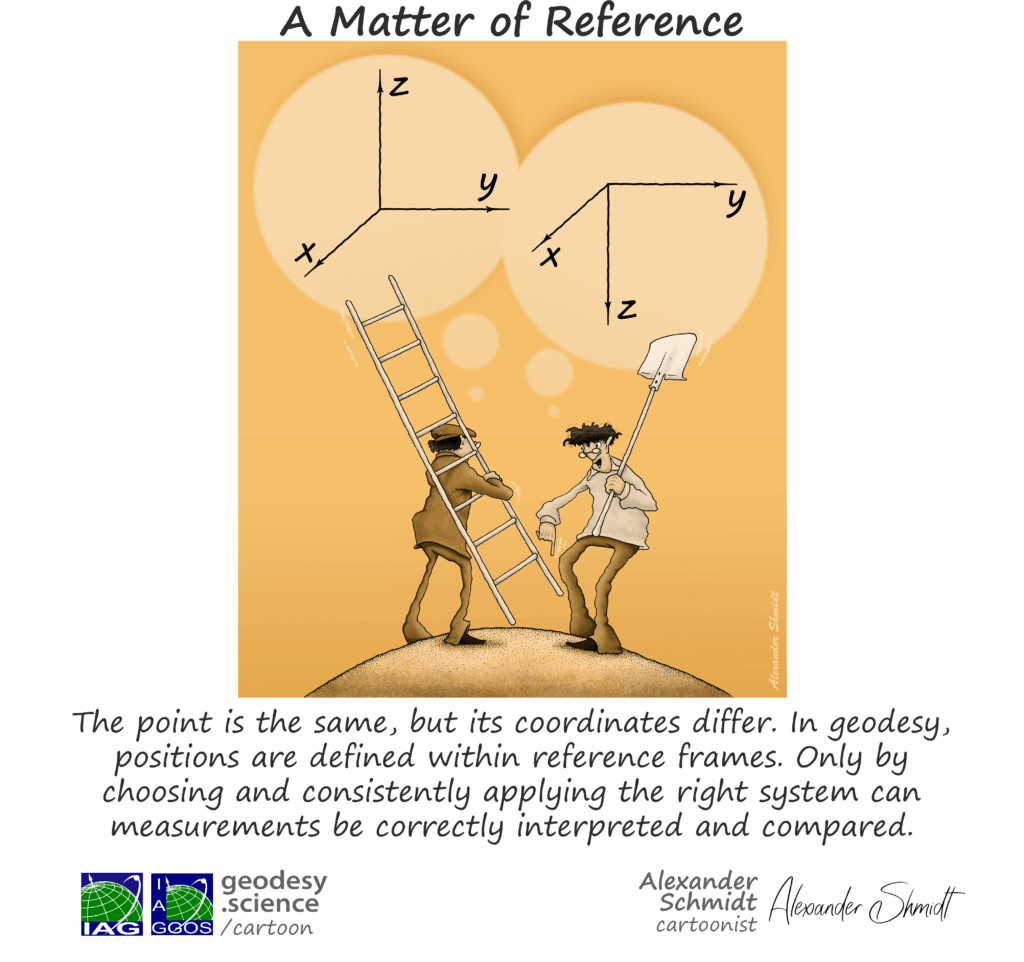
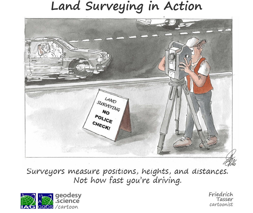
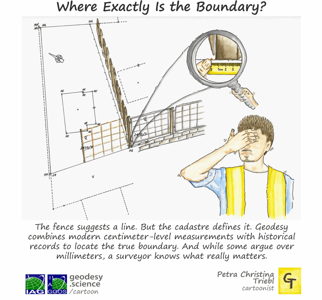
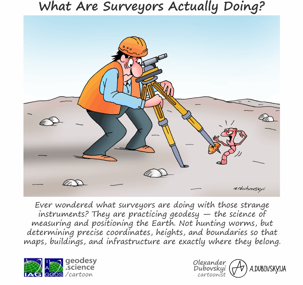
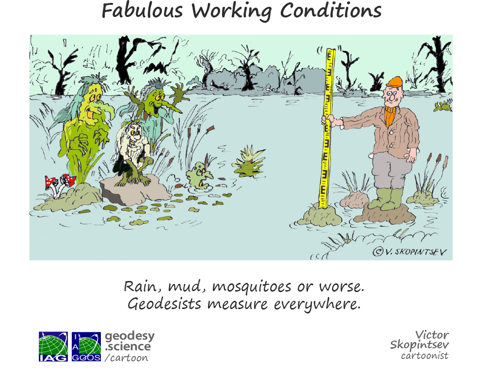
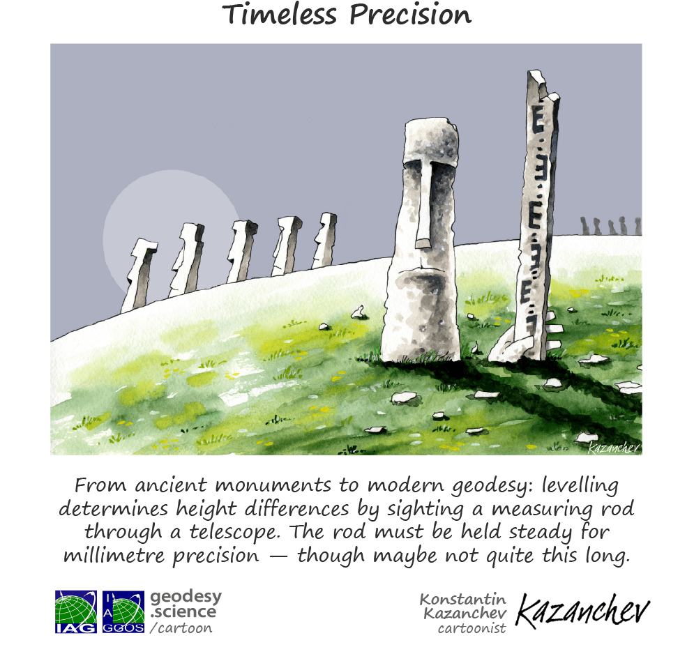
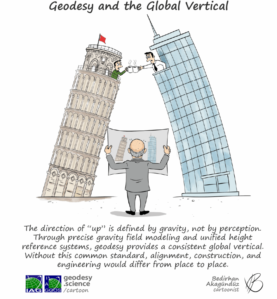
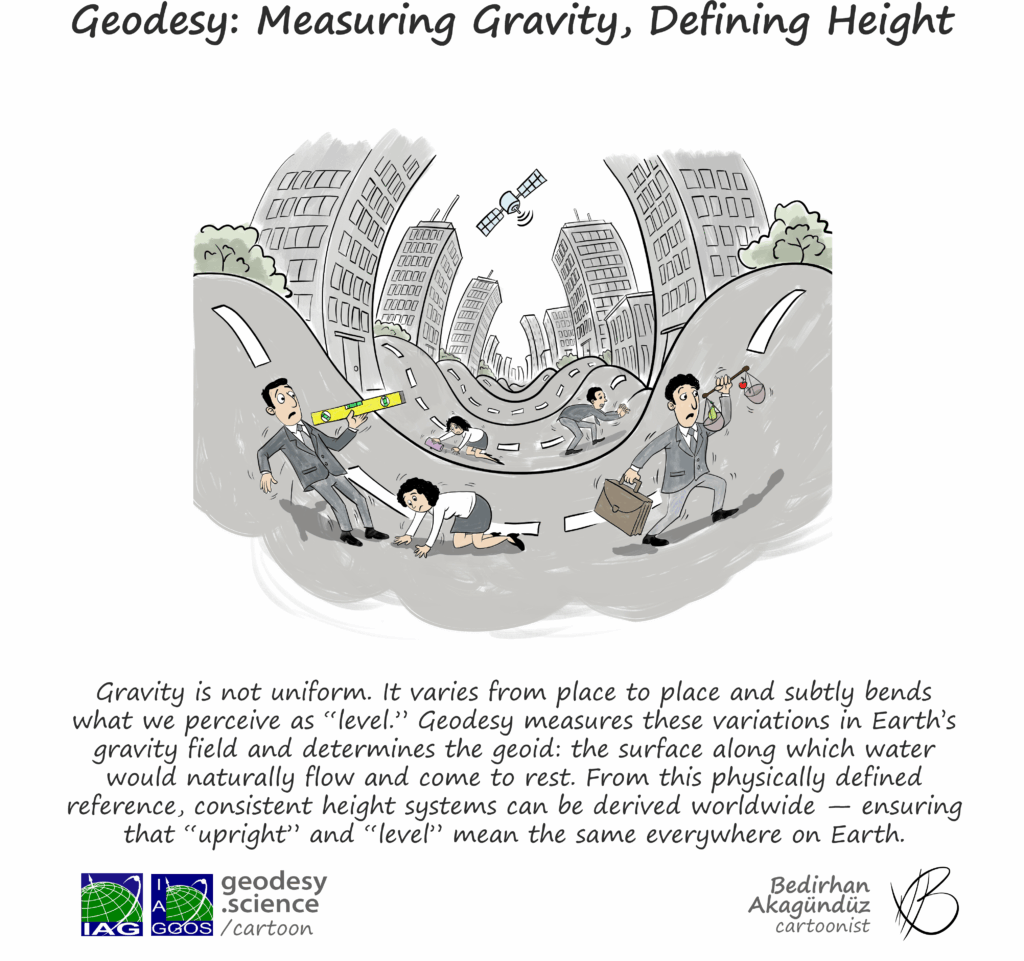
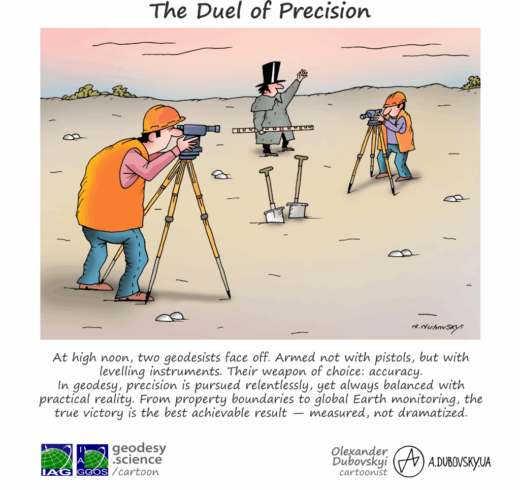
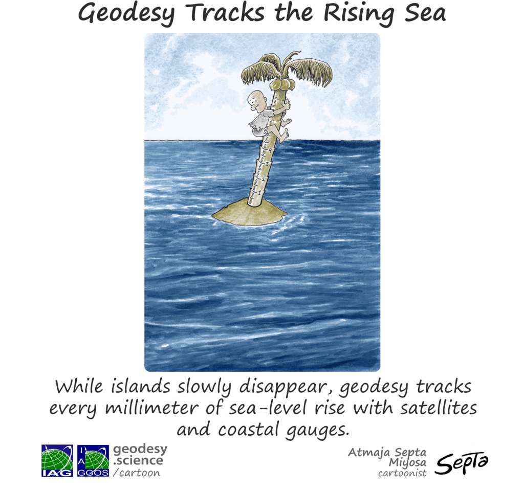
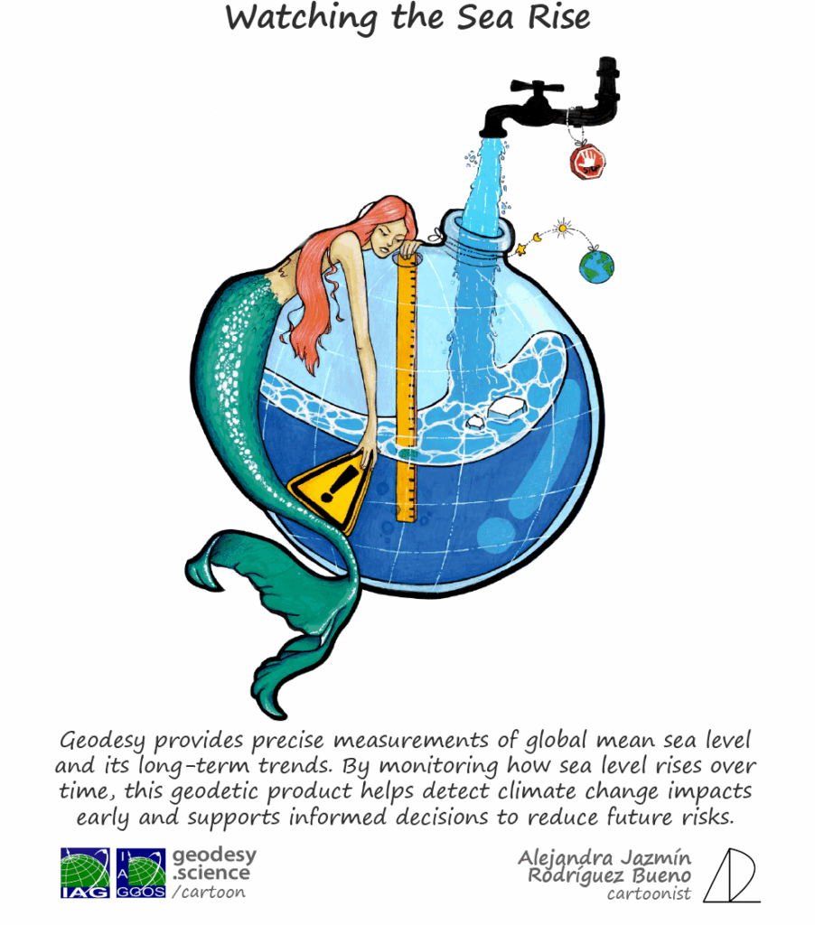
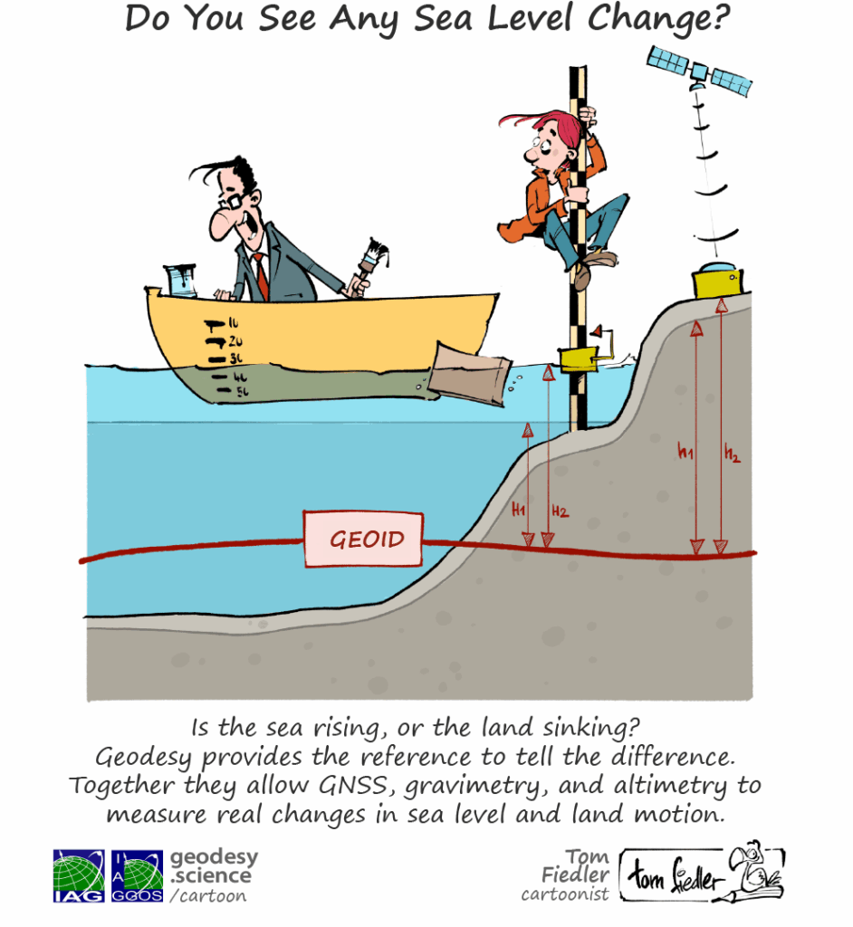
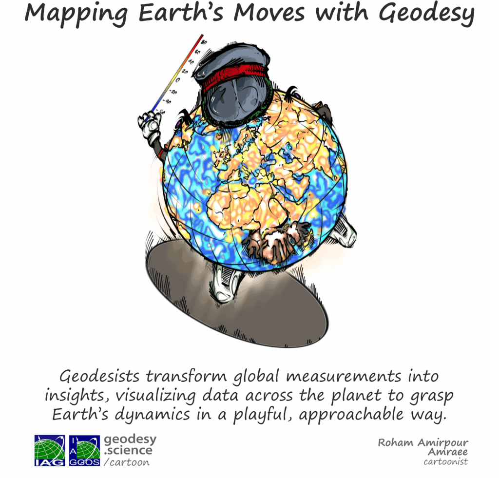
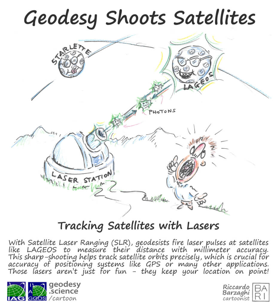
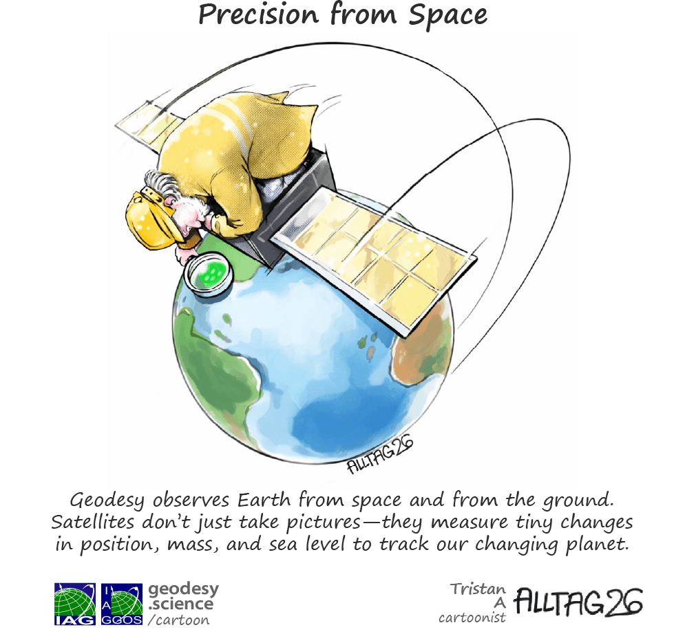
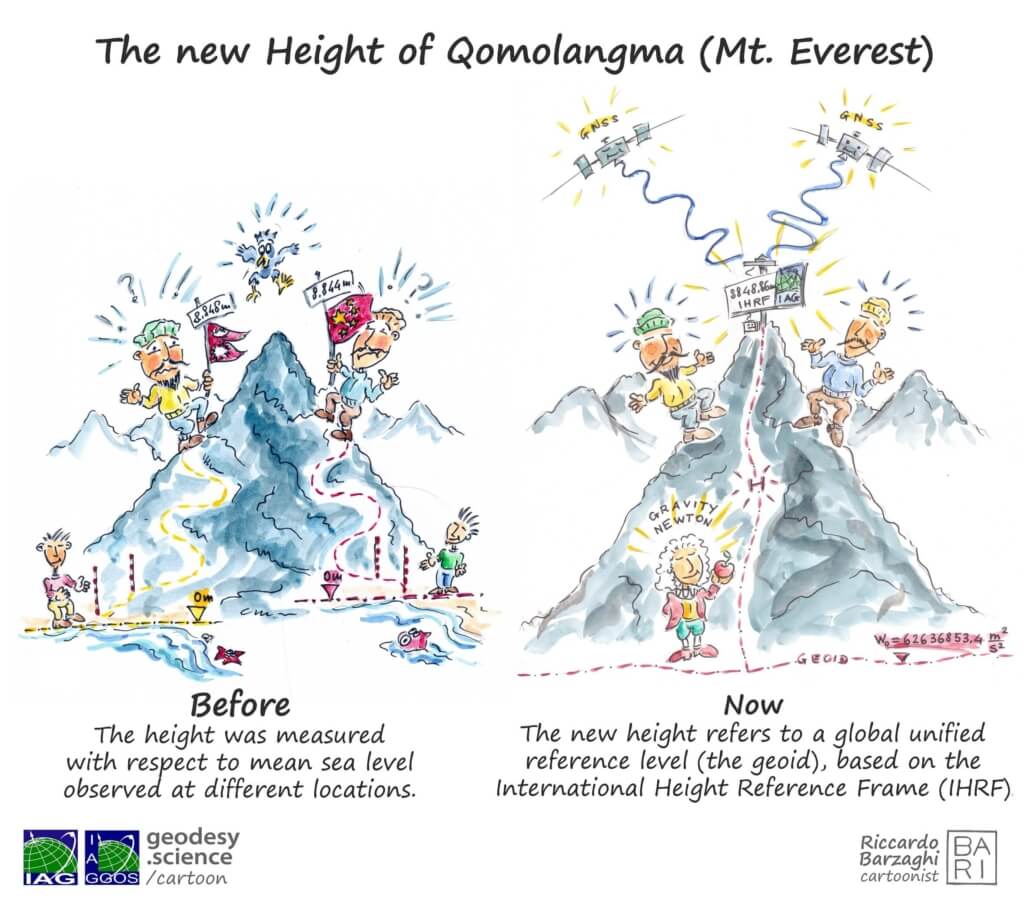
The Geodesy Cartoon initiative was launched in 2024 by the GGOS Coordinating Office (CO), initiated by Martin Sehnal (BEV, Austria). The first concepts were developed together with Laura Sánchez and Detlef Angermann (DGFI-TUM, Germany), and the initial three cartoons were illustrated by Riccardo Barzaghi.

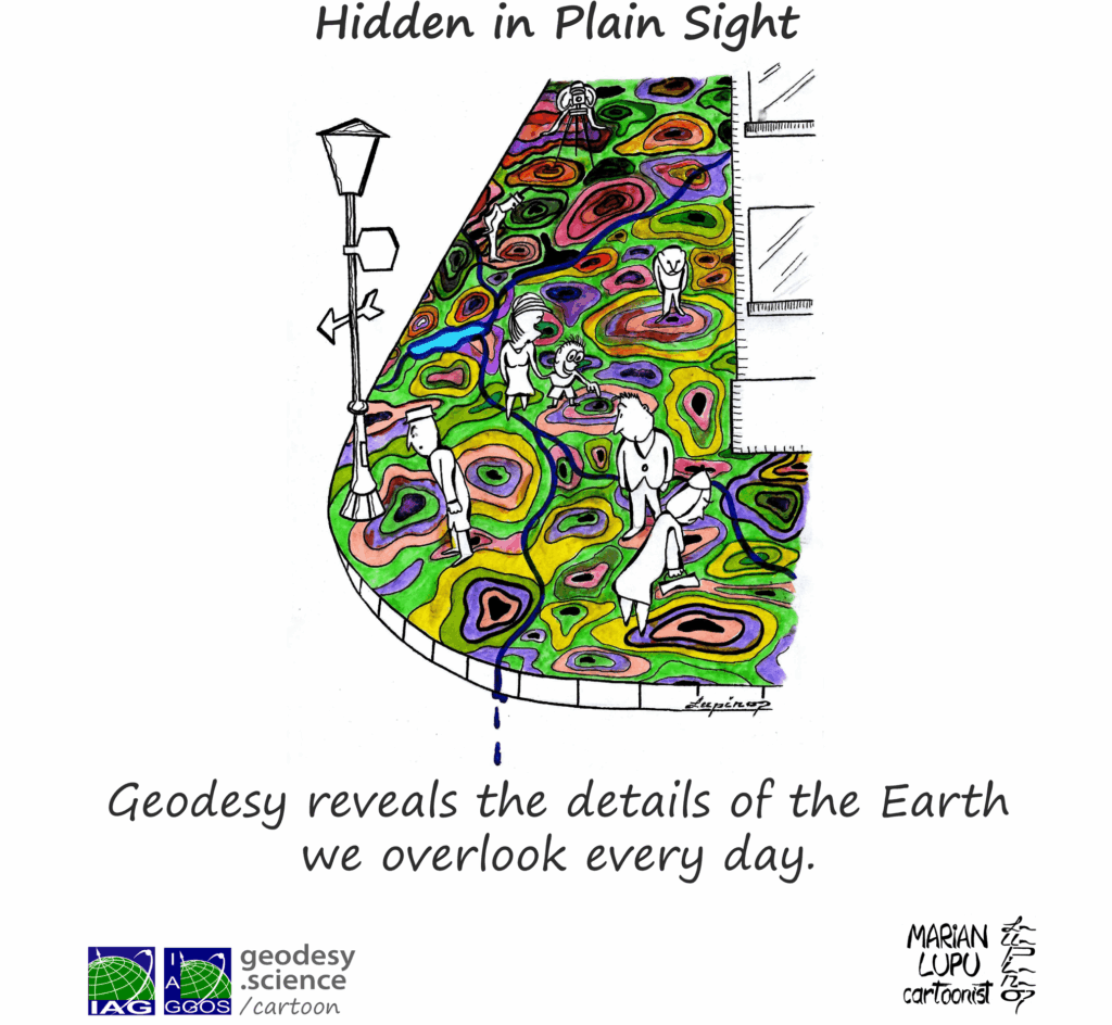
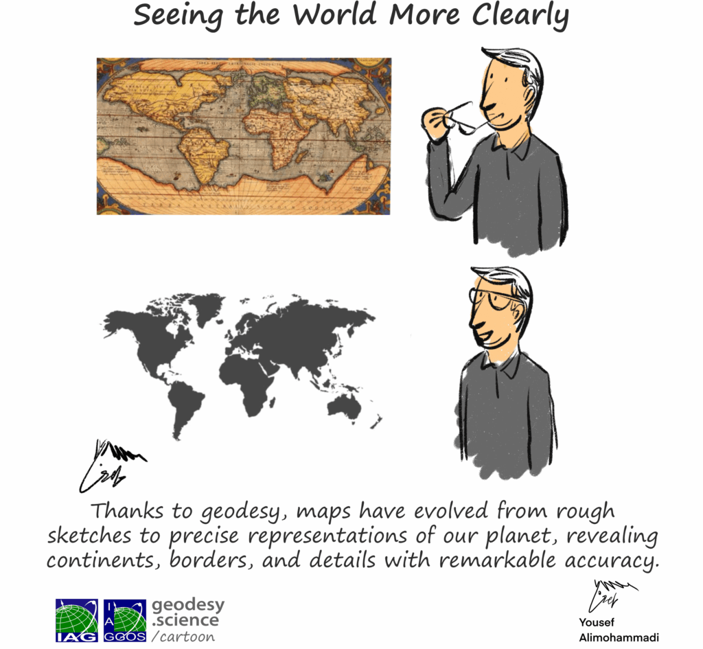
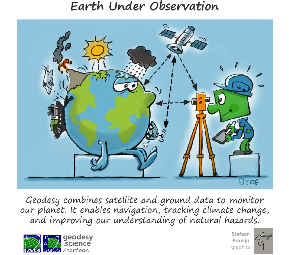
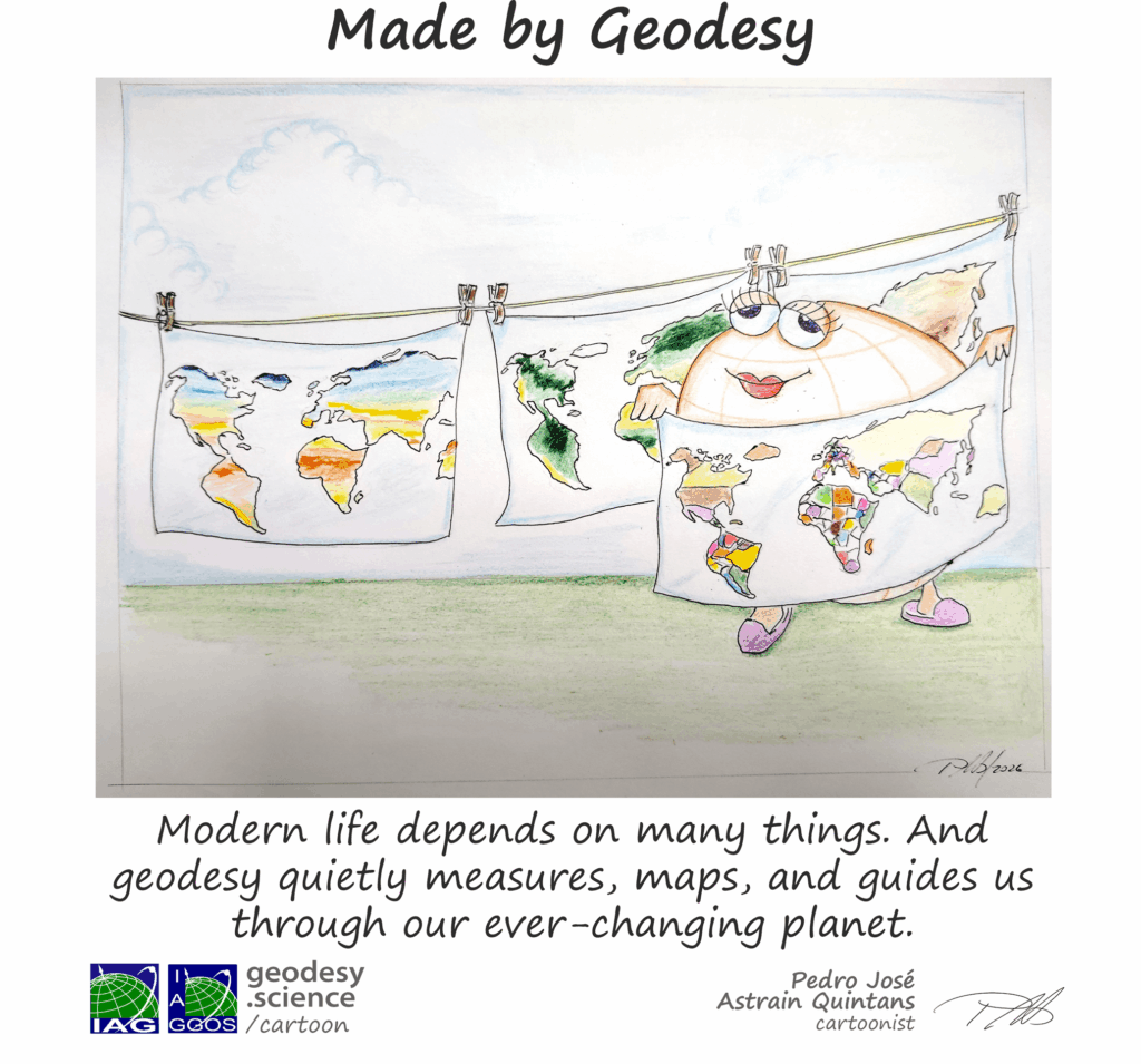
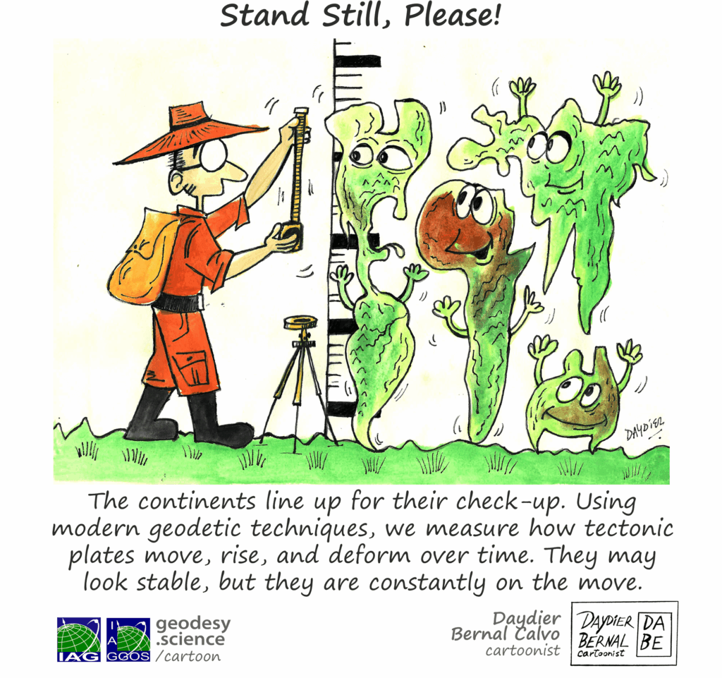
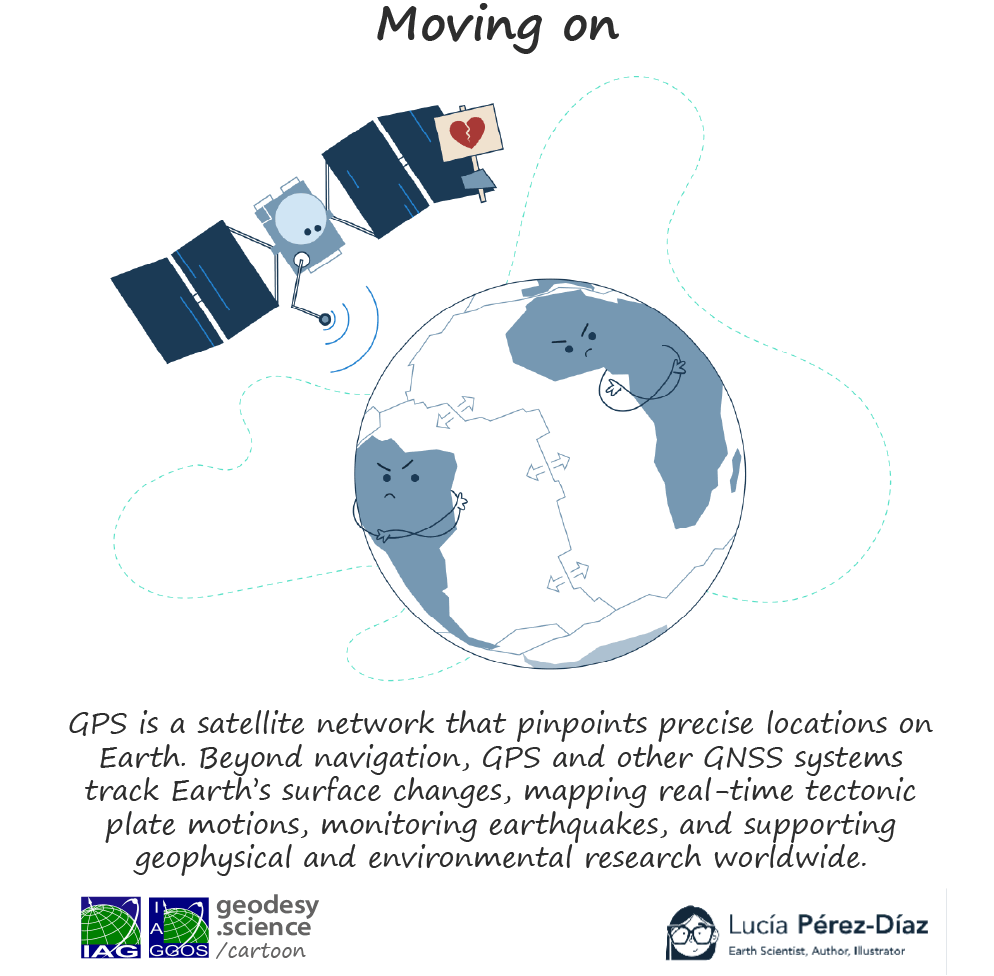
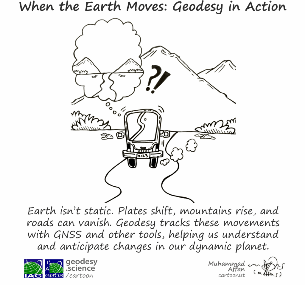
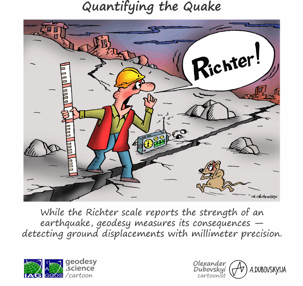
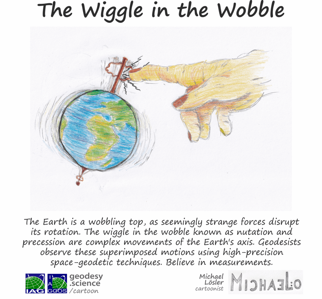
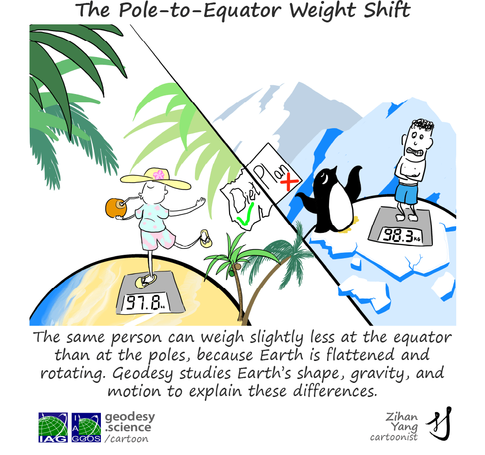
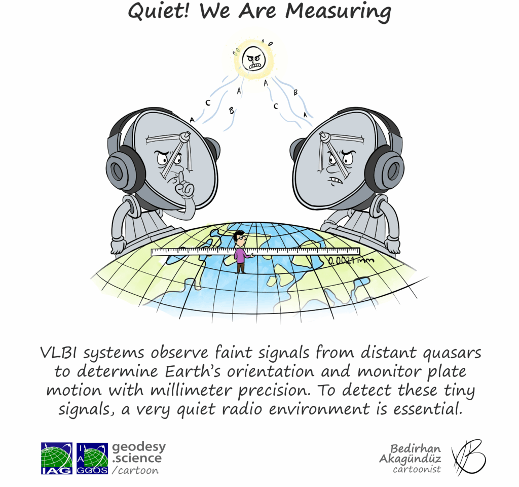
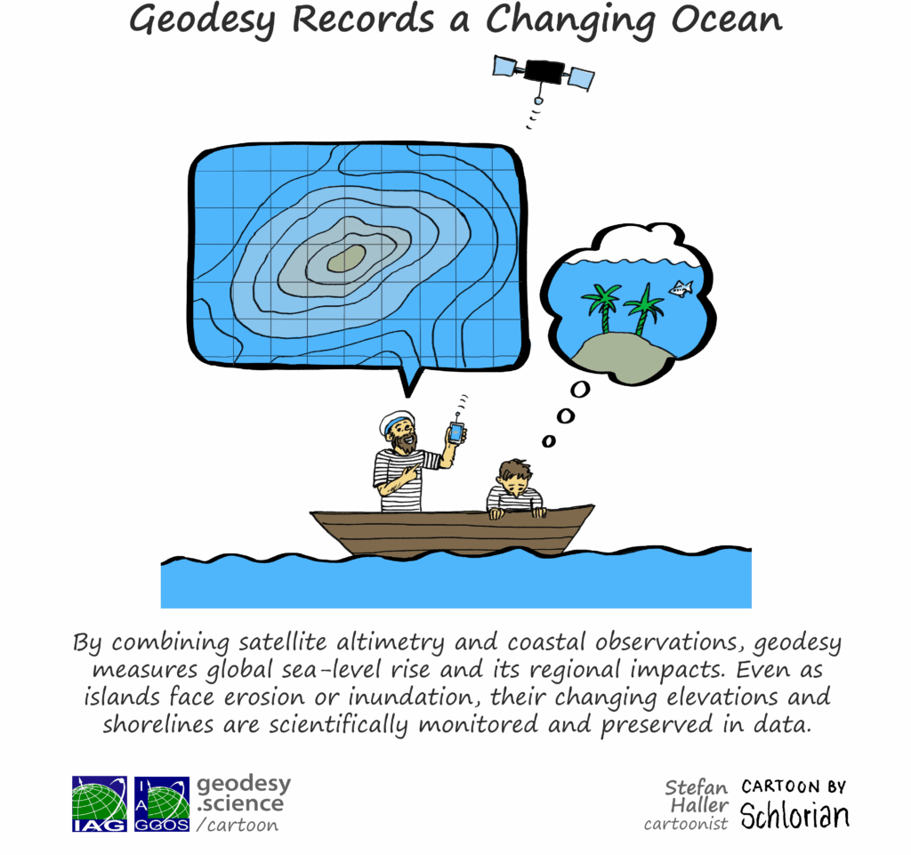
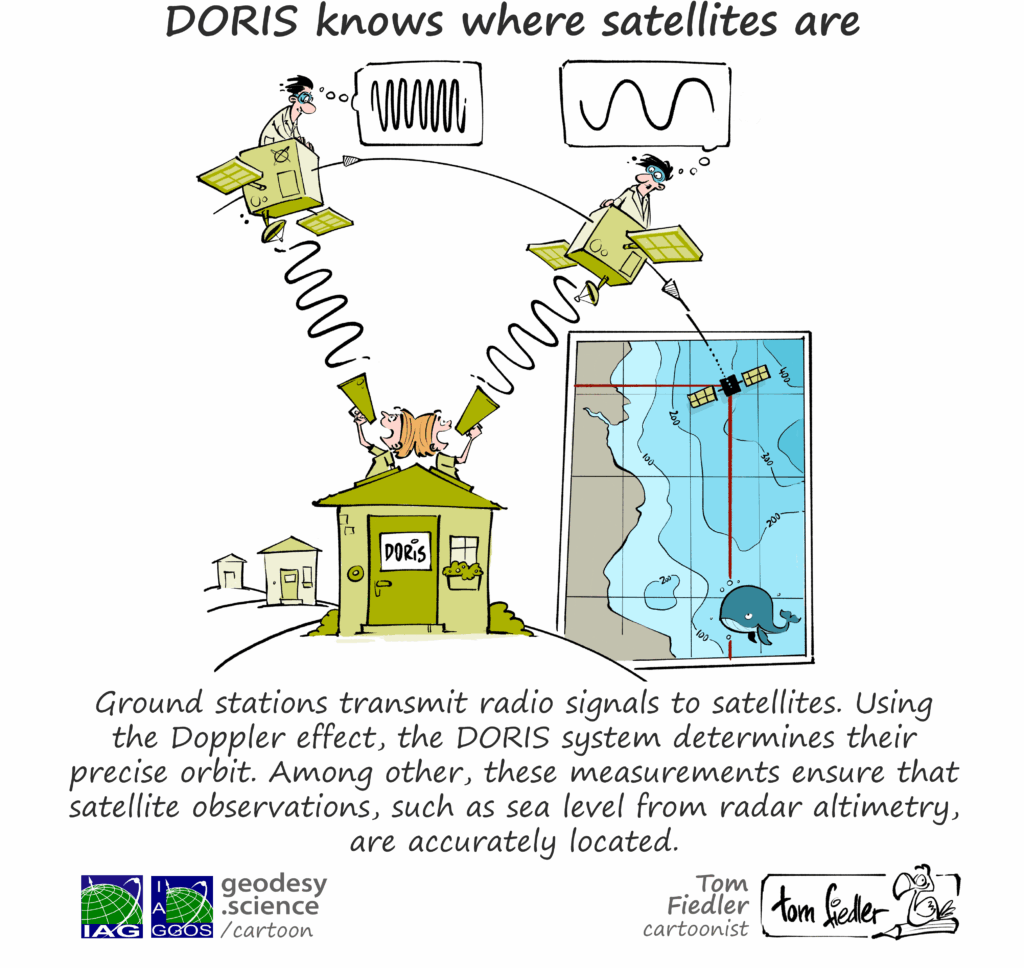
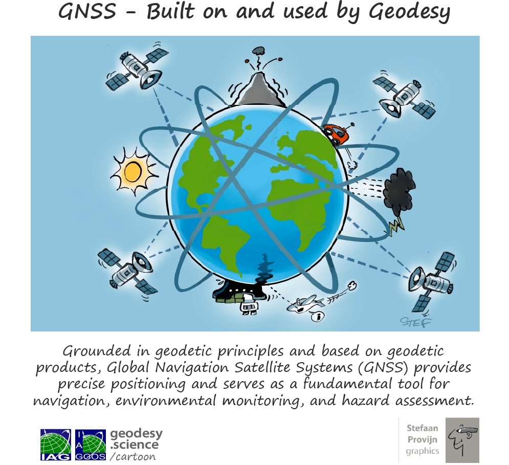
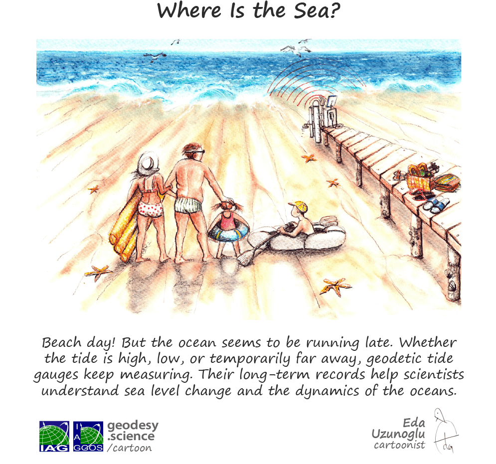
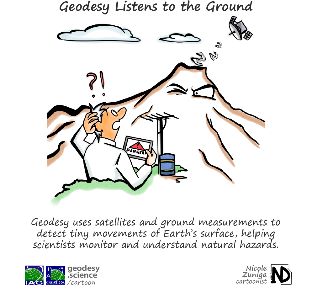
The project gained significant momentum with the Geodesy Cartoon Competition (2025–2026), where the global geodesy community contributed enthusiastically. 274 cartoons were submitted, turning the initiative into a truly collaborative outreach effort.
Each Geodesy Cartoon is licensed under the Creative Commons CC BY 4.0 license. This allows anyone to share, distribute, and adapt (e.g. translate into other languages) the cartoons for any purpose, provided that proper credit is given to the respective cartoonist / illustrator and to the official geodesy cartoon website: geodesy.science/cartoon. There are no restrictions on who may use the cartoons, where they may be shared (online, print), or how often they may be distributed.
If you need any cartoon in a higher resolution or if you have any further questions, please contact us…




IAG collaborates closely with numerous organizations within geodesy and beyond. See the list for details.


This website is provided by the IAG Secretariat and the GGOS Coordinating Office, which are hosted by the BEV – Federal Office of Metrology and Surveying (Bundesamt für Eich- und Vermessungswesen) in Vienna, Austria.