 © Daniel Frank (Pexels)
https://geodesy.science/wp-content/uploads/geodesy2society_pexels-daniel-frank-574645.jpg
603
600
Martin Sehnal
https://geodesy.science/wp-content/uploads/IAG-logo-web.png
Martin Sehnal2021-04-02 05:34:192025-09-16 14:56:04The Power of Where
© Daniel Frank (Pexels)
https://geodesy.science/wp-content/uploads/geodesy2society_pexels-daniel-frank-574645.jpg
603
600
Martin Sehnal
https://geodesy.science/wp-content/uploads/IAG-logo-web.png
Martin Sehnal2021-04-02 05:34:192025-09-16 14:56:04The Power of Where © Rawpixel
https://geodesy.science/wp-content/uploads/GGOS_EventUpdate.jpg
898
903
Martin Sehnal
https://geodesy.science/wp-content/uploads/IAG-logo-web.png
Martin Sehnal2021-03-30 12:45:282025-06-04 07:04:20GGOS Event Update
© Rawpixel
https://geodesy.science/wp-content/uploads/GGOS_EventUpdate.jpg
898
903
Martin Sehnal
https://geodesy.science/wp-content/uploads/IAG-logo-web.png
Martin Sehnal2021-03-30 12:45:282025-06-04 07:04:20GGOS Event Update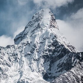 © Martin Jernberg by unsplash
https://geodesy.science/wp-content/uploads/everest_martin-jernberg-oBX-b6ltYts-unsplash.jpg
282
281
Martin Sehnal
https://geodesy.science/wp-content/uploads/IAG-logo-web.png
Martin Sehnal2021-01-28 13:35:412025-05-26 05:51:01New Height of Mount Everest
© Martin Jernberg by unsplash
https://geodesy.science/wp-content/uploads/everest_martin-jernberg-oBX-b6ltYts-unsplash.jpg
282
281
Martin Sehnal
https://geodesy.science/wp-content/uploads/IAG-logo-web.png
Martin Sehnal2021-01-28 13:35:412025-05-26 05:51:01New Height of Mount Everest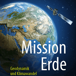 © Springer - Angermann et.al.
https://geodesy.science/wp-content/uploads/Book_MissionErde_Springer_AngermannEtAl_square_optimized.png
266
266
Martin Sehnal
https://geodesy.science/wp-content/uploads/IAG-logo-web.png
Martin Sehnal2020-12-14 13:20:522025-01-16 08:48:41Mission Earth
© Springer - Angermann et.al.
https://geodesy.science/wp-content/uploads/Book_MissionErde_Springer_AngermannEtAl_square_optimized.png
266
266
Martin Sehnal
https://geodesy.science/wp-content/uploads/IAG-logo-web.png
Martin Sehnal2020-12-14 13:20:522025-01-16 08:48:41Mission Earth https://geodesy.science/wp-content/uploads/geodesyNews_AdobeStock_441614817.jpeg
576
1170
admin
https://geodesy.science/wp-content/uploads/IAG-logo-web.png
admin2020-12-04 00:00:002025-04-08 05:32:08New GGOS website launched
https://geodesy.science/wp-content/uploads/geodesyNews_AdobeStock_441614817.jpeg
576
1170
admin
https://geodesy.science/wp-content/uploads/IAG-logo-web.png
admin2020-12-04 00:00:002025-04-08 05:32:08New GGOS website launched © GGOS - (adapted FreePic graphic)
https://geodesy.science/wp-content/uploads/newGGOSwebsite-1.png
865
865
Martin Sehnal
https://geodesy.science/wp-content/uploads/IAG-logo-web.png
Martin Sehnal2020-11-27 13:00:252025-04-08 05:21:31New GGOS Website
© GGOS - (adapted FreePic graphic)
https://geodesy.science/wp-content/uploads/newGGOSwebsite-1.png
865
865
Martin Sehnal
https://geodesy.science/wp-content/uploads/IAG-logo-web.png
Martin Sehnal2020-11-27 13:00:252025-04-08 05:21:31New GGOS Website © NASA
https://geodesy.science/wp-content/uploads/AbriefHistoryOfGeodesy.png
410
457
Martin Sehnal
https://geodesy.science/wp-content/uploads/IAG-logo-web.png
Martin Sehnal2020-10-30 10:33:312025-02-05 12:03:16A Brief History of Geodesy
© NASA
https://geodesy.science/wp-content/uploads/AbriefHistoryOfGeodesy.png
410
457
Martin Sehnal
https://geodesy.science/wp-content/uploads/IAG-logo-web.png
Martin Sehnal2020-10-30 10:33:312025-02-05 12:03:16A Brief History of Geodesy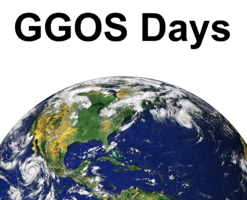 © GGOS
https://geodesy.science/wp-content/uploads/GGOS_Days_square.png
632
640
Martin Sehnal
https://geodesy.science/wp-content/uploads/IAG-logo-web.png
Martin Sehnal2020-09-04 08:31:172025-01-17 07:03:26GGOS Days 2020
© GGOS
https://geodesy.science/wp-content/uploads/GGOS_Days_square.png
632
640
Martin Sehnal
https://geodesy.science/wp-content/uploads/IAG-logo-web.png
Martin Sehnal2020-09-04 08:31:172025-01-17 07:03:26GGOS Days 2020
