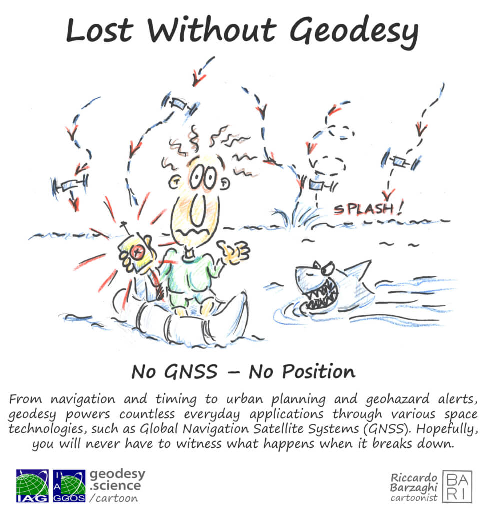
Lost Without Geodesy
What if your phone couldn’t tell you where you are? What if airplanes had no navigation? What if early warning systems stopped working? That’s the world when geodesy and its fundamental products suddenly disappear.
Our new cartoon “Lost Without Geodesy” shows just how much we rely on the invisible infrastructure of geodesy — especially Global Navigation Satellite Systems (GNSS).
Learn more about GNSS
GNSS satellites orbit Earth, constantly sending signals that let your phone, car, or plane determine its location. But GNSS does much more: it supports earthquake monitoring, sea level studies, climate research, and autonomous navigation.
Geodesy makes the needed precision and the diverse applications possible. Without it, GNSS would drift, and related global systems would fail.
Discover the science behind the tech that guides our modern world – and how geodesy keeps us from getting lost.
Explore GNSS
More Geodesy Cartoons

