© TheNounProject
GNSS – Global Navigation Satellite Systems
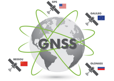
GNSS refers to satellite-based positioning systems that provide global, continuous, and precise positioning, navigation, and timing (PNT) services. Major constellations include GPS (USA), GLONASS (Russia), Galileo (EU), and BeiDou (China). GNSS determines positions by measuring signal travel times between satellites and ground receivers.
In geodesy, GNSS is a core space-geodetic technique used for high-precision positioning at the millimeter level. It enables the realization and maintenance of global and regional terrestrial reference frames, monitoring of plate tectonics and crustal deformation, sea level studies, tropospheric and ionospheric research, and precise orbit determination. GNSS forms a fundamental component of modern Earth system monitoring and geodetic infrastructure worldwide.
More Info: https://geodesy.science/item/gnss/