
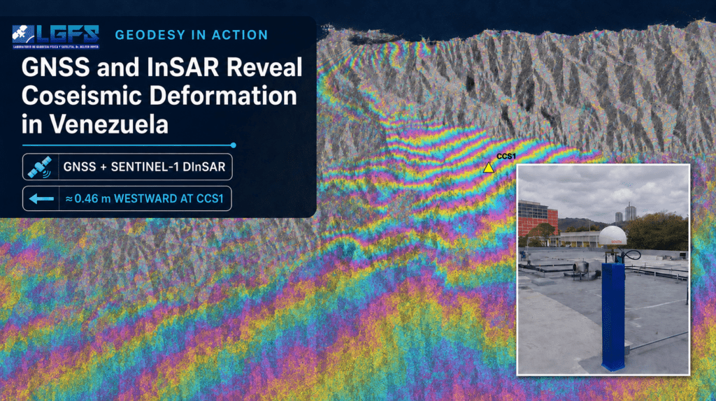
Geodesy in Action: GNSS and InSAR Reveal Coseismic Deformation in Venezuela
Introduction
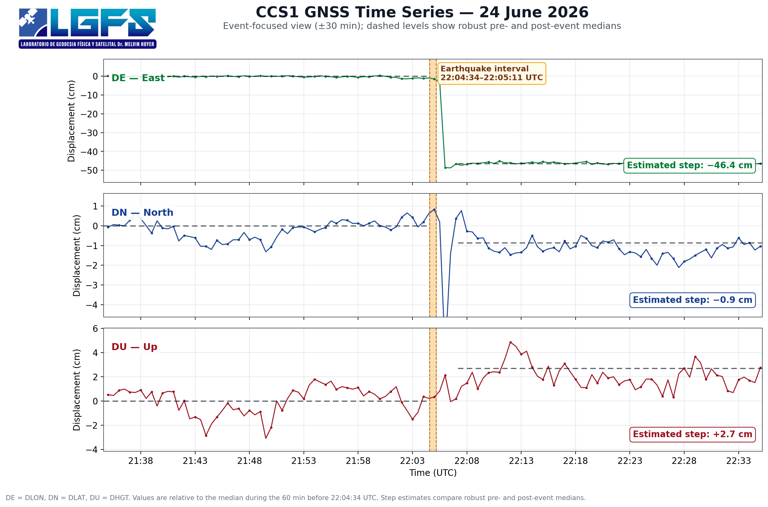
On June 24, 2026, north-central Venezuela was struck by two major earthquakes less than one minute apart. Preliminary USGS solutions reported an Mw 7.2 event at 22:04:34 UTC and an Mw 7.5 event at 22:05:11 UTC, followed by an M 5.0 event near the Caracas–La Guaira region later that evening. The epicentral area lies within the complex interaction zone of the Caribbean Plate, the Northern Andes Block, and the South American Plate. Because these source parameters remain preliminary, they may be revised as seismological analyses progress. A preliminary geodetic assessment of the earthquake sequence in north-central Venezuela combines continuous GNSS observations with five Sentinel-1 differential interferometric SAR (DInSAR) pairs.
Data and Methodology
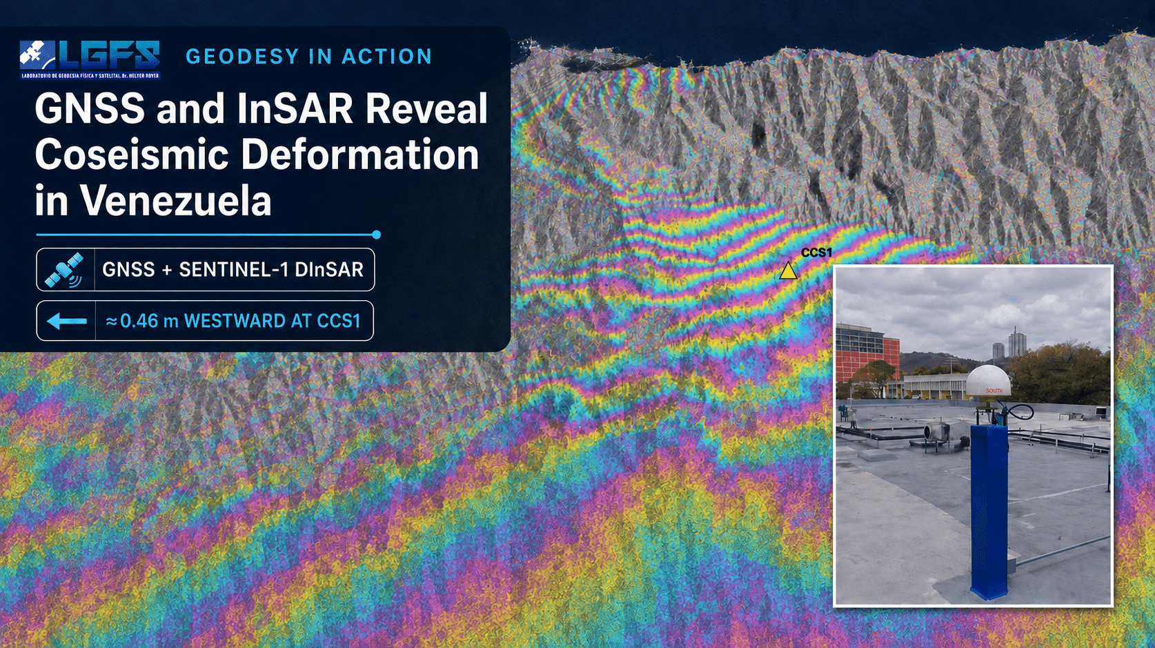
Five Sentinel-1A/1D interferometric pairs—two ascending and three descending—used acquisitions from June 6, 13, 18, and 25, with June 25 as the only post-event date. Processing through ASF HyP3 included coregistration, topographic-phase removal, filtering, unwrapping, and geocoding. Copernicus GLO-30 was used as the DEM; outputs had 80 m spacing and approximately 160 m resolution.
Seven GNSS stations were processed for three days before and after the earthquakes using CSRS-PPP and OPUS. East, north, and up differences were referenced to ITRF2020 at epoch 2026.5. CCS1 recorded the dominant displacement; offsets elsewhere were comparable to their uncertainties.
Integrating GNSS and InSAR
Two DInSAR measures solutions were evaluated. A DInSAR-only exploratory solution, with the north component fixed at zero, yielded dE = −0.496 m and dU = +0.094 m. A second solution incorporated the displacement measured at GNSS-CCS1 as a higher-weight constraint and yielded dE = −0.475 m, dN = −0.008 m, and dU = +0.043 m. The constrained solution was retained for the regional interpretation.
Results
At CCS1, GNSS measured DE = −0.463 m, DN = −0.007 m, and DU = +0.03 m, confirming overwhelmingly westward motion. Across 20 sites in five states, constrained DInSAR indicated approximately 0.48 m westward displacement and 0.03–0.05 m uplift.
This deformation may affect geodetic control, coordinate realization, and height infrastructure, particularly near the La Guaira tide gauge. Expanding Venezuela’s continuous GNSS network and deploying corner reflectors would improve coseismic and postseismic monitoring.
Conclusions
This first integrated GNSS–DInSAR assessment identifies approximately 0.48 m of westward displacement in Caracas–La Guaira, with much smaller vertical and north–south components. It demonstrates how geodesy can rapidly support geodynamic interpretation, reference-frame maintenance, and field investigation. The results remain preliminary.
Acknowledgments
The authors thank ASF DAAC, DGFI-TUM, EarthScope/GAGE, ESA/Copernicus, IAG, IGVSB, IPGH, NASA Earthdata Cloud, Natural Resources Canada CSRS-PPP, NOAA/NGS, SIRGAS, U.S. Geological Survey.
Read More
Full article at https://siggma.xyz/preliminary-gnssdinsar-evidence-of-coseismic-deformation-in-caracas-la-guaira-associated-with-the-june-24-2026-earthquakes/
Author: Hermógenes David Suárez Acosta, Ileanis Arenas Bermúdez
Laboratorio de Geodesia Física y Satelital Dr. Melvin Hoyer – Universidad del Zulia.
Contacto: /
Original technical article: SIGGMA, July 13, 2026



