 https://geodesy.science/wp-content/uploads/Summer_School_Copyright-EhsanForootanAalborg_2026-03-19_9111a1.jpg
204
189
admin
https://geodesy.science/wp-content/uploads/IAG-logo-web.png
admin2026-03-19 13:11:002026-03-19 13:12:04Summer School: Satellite-Based Hydrological Data Assimilation
https://geodesy.science/wp-content/uploads/Summer_School_Copyright-EhsanForootanAalborg_2026-03-19_9111a1.jpg
204
189
admin
https://geodesy.science/wp-content/uploads/IAG-logo-web.png
admin2026-03-19 13:11:002026-03-19 13:12:04Summer School: Satellite-Based Hydrological Data Assimilation


 https://geodesy.science/wp-content/uploads/ECSNet-video-1.jpg
670
1191
Helmut Klima
https://geodesy.science/wp-content/uploads/IAG-logo-web.png
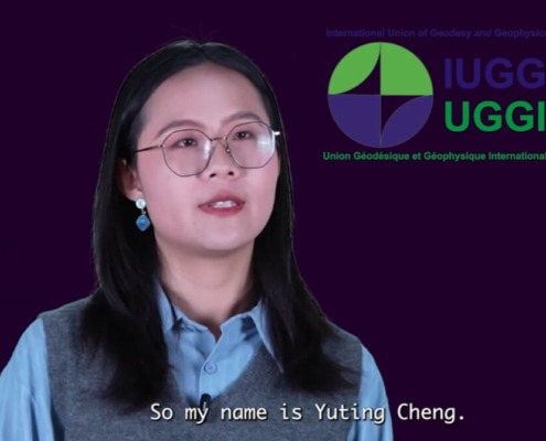
Helmut Klima2025-12-05 09:58:122025-11-27 10:21:31Spotlight on Young Researchers – ECSNet Video Series
https://geodesy.science/wp-content/uploads/ECSNet-video-1.jpg
670
1191
Helmut Klima
https://geodesy.science/wp-content/uploads/IAG-logo-web.png
Helmut Klima2025-12-05 09:58:122025-11-27 10:21:31Spotlight on Young Researchers – ECSNet Video Series https://geodesy.science/wp-content/uploads/ecs_AdobeStock_3647304651.jpeg
653
2208
admin
https://geodesy.science/wp-content/uploads/IAG-logo-web.png
admin2025-11-24 06:12:532025-11-24 07:27:33Open Call for Early Career Researchers – EPOS-GNSS TCS Participation in EPOS Days 2026
https://geodesy.science/wp-content/uploads/ecs_AdobeStock_3647304651.jpeg
653
2208
admin
https://geodesy.science/wp-content/uploads/IAG-logo-web.png
admin2025-11-24 06:12:532025-11-24 07:27:33Open Call for Early Career Researchers – EPOS-GNSS TCS Participation in EPOS Days 2026 https://geodesy.science/wp-content/uploads/eventNews1_AdobeStock_238163501.jpeg
1004
1504
admin
https://geodesy.science/wp-content/uploads/IAG-logo-web.png
admin2025-11-24 06:10:222025-11-24 07:20:12Canadian Geophysical Union 2026 Scientific Meeting – Call for Abstracts
https://geodesy.science/wp-content/uploads/eventNews1_AdobeStock_238163501.jpeg
1004
1504
admin
https://geodesy.science/wp-content/uploads/IAG-logo-web.png
admin2025-11-24 06:10:222025-11-24 07:20:12Canadian Geophysical Union 2026 Scientific Meeting – Call for Abstracts https://geodesy.science/wp-content/uploads/AdobeStock_254781413.jpeg
1120
1680
Martin Sehnal
https://geodesy.science/wp-content/uploads/IAG-logo-web.png
Martin Sehnal2025-11-20 11:02:342025-11-20 11:12:09New IAG Publications | Geodesist’s Handbook 2024 & IAG Travaux 2023–2025
https://geodesy.science/wp-content/uploads/AdobeStock_254781413.jpeg
1120
1680
Martin Sehnal
https://geodesy.science/wp-content/uploads/IAG-logo-web.png
Martin Sehnal2025-11-20 11:02:342025-11-20 11:12:09New IAG Publications | Geodesist’s Handbook 2024 & IAG Travaux 2023–2025
 https://geodesy.science/wp-content/uploads/IAG_Awardees_2025__1__Copyright-IAG_2025-09-12.png
376
359
admin
https://geodesy.science/wp-content/uploads/IAG-logo-web.png
admin2025-09-12 07:46:532025-09-12 07:46:53IAG Honors Outstanding Contributions in Geodesy: Awardees of 2023 and 2024
https://geodesy.science/wp-content/uploads/IAG_Awardees_2025__1__Copyright-IAG_2025-09-12.png
376
359
admin
https://geodesy.science/wp-content/uploads/IAG-logo-web.png
admin2025-09-12 07:46:532025-09-12 07:46:53IAG Honors Outstanding Contributions in Geodesy: Awardees of 2023 and 2024
