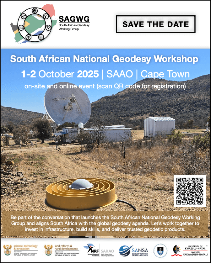
South African National Geodesy Workshop
Towards a National Geodesy Working Group for South Africa
Geodesy — the science of measuring the Earth’s shape, orientation, gravity field, and changes over time — is the foundation of modern mapping, positioning, land administration, infrastructure, and climate monitoring.
South Africa has a proud history in terrestrial and space geodesy, from early triangulation networks to today’s NRF Space Geodesy facilities, TrigNet GNSS stations, tide gauges, and participation in global collaborations. Yet, our efforts remain fragmented across institutions, with limited coordination.
In 2015, the United Nations adopted Resolution A/RES/69/266 on the Global Geodetic Reference Frame for Sustainable Development (GGRF), calling on all countries to strengthen geodetic infrastructure, skills, and governance. South Africa must respond by aligning nationally and globally.
To this end, a National Geodesy Workshop will be convened to:
- Bring together key stakeholders in geodesy.
- Strengthen coordination of infrastructure, data, services, and skills.
- Align with the UN-GGRF agenda.
- Establish a National Geodesy Working Group (NGWG) as a formal coordination mechanism.
This is an exciting step towards ensuring that South Africa continues to play a leading role in geodesy, contributing both to national development and the global community.
Author: Aletha de Witt (member of GGOS Governing Board, IAG representative on the IVS Directing Board)

