The Visibility Challenge of Geodesy
Geodesy is the invisible foundation of our modern world. It enables accurate positioning, navigation, climate monitoring, and disaster management. Yet its critical role often goes unnoticed outside scientific circles.

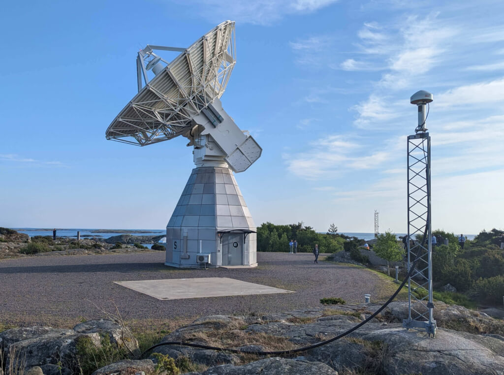
A recently published article titled “The Visibility Challenge of Geodesy“ in GIM International (Issue 4, 2025, Page 20-21) explores how geodesy — and its highly accurate International Terrestrial Reference Frame (ITRF), for example — underpins everything from GNSS navigation to digital twins. The article highlights the global infrastructure behind geodesy, including GNSS stations, VLBI radio telescopes, satellite laser ranging, and DORIS beacons, and explains how these systems work together through IAG and GGOS to deliver reliable geospatial products.
The article also focuses on efforts to make geodesy more visible and accessible. Initiatives include educational outreach, visual storytelling through geodesy films, the Geodesy Cartoons project, and the upcoming GGOS Portal, which will simplify access to geodetic data for researchers, surveyors, and geomatics professionals.
This article is a must-read for anyone interested in understanding the scientific backbone of modern geospatial technologies and the global efforts to sustain it.
- Read the article “The Visibility Challenge of Geodesy” (GIM – Issue 4 – 2025, Page 20-21)
- Get the full “GIM – Issue 4 – 2025” here
By Martin Sehnal (Director of IAG’s GGOS Coordinating Office)

