Geodesy for a Resilient Africa Summer School 2026
29 June – 3 July 2026 | AIMS, Limbe, Cameroon
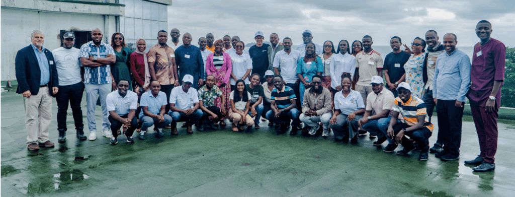
The Geodesy for a Resilient Africa Summer School 2026 was the first summer school of its kind in Africa, designed exclusively for African geoscientists, oceanographers, and geodesists. The initiative was conceived by Prof. Ola M. Johannessen (Nansen Scientific Society) and Dr. Franck Ghomsi, and received strong institutional backing from the International Association of Geodesy (IAG) Early Career Scientists, represented by Dr. Rebekka Steffen. It brought together 30 early career researchers and practitioners from 12 African countries for an intensive week of interdisciplinary training on the use of geodetic and Earth observation data to address climate, ocean, and land resilience challenges (Figure 1). Hosted at the African Institute for Mathematical Sciences (AIMS) in Limbe, Cameroon, the school addressed a long-standing need for stronger technical capacity across Africa to transform open satellite and in situ data into actionable scientific evidence for environmental decision-making.
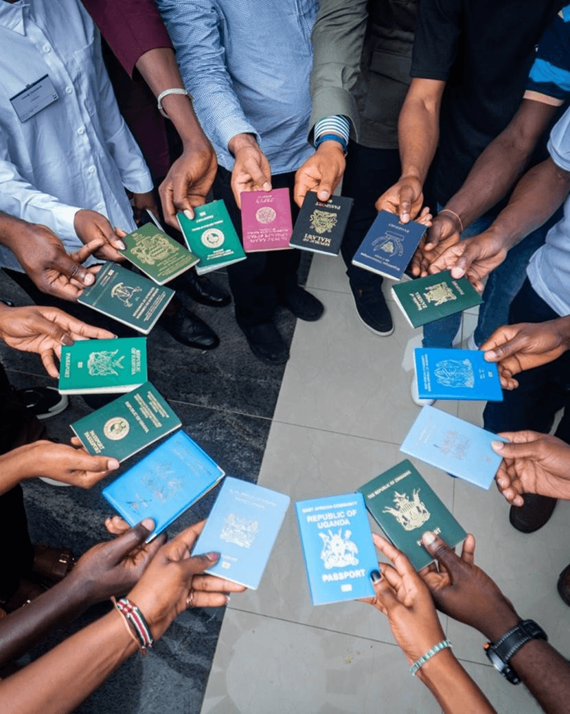
Figure 1. Summer school participants from across Africa display their national passports in a circular formation, symbolizing pan-African unity and cross-border collaboration among participants from Uganda, Chad, Zimbabwe, Malawi, Zambia, Tanzania, Ghana, Namibia, Ethiopia, Nigeria, the Democratic Republic of Congo, and Cameroon. Picture was taken by Joseph Esaka.
Africa is facing growing environmental pressures, including marine heatwaves, sea-level rise, coastal flooding, drought, groundwater depletion, land subsidence, air pollution, and rapid urbanisation. Although satellite observations are now widely and freely available, many African institutions still face barriers in accessing, processing, interpreting, and applying these data in ways that support planning, risk management, and resilience. The school was designed to help close this gap through training rooted in African environmental challenges and delivered on the continent itself. By bringing international faculty to Africa, the programme widened access for promising young scientists who often face major financial, mobility, and visa-related barriers in attending similar training abroad.
The programme combined three weeks of preparatory online sessions with expert lectures, hands-on computational workshops, poster presentations, and collaborative thematic group projects during the on-site school. Participants worked with major geodetic techniques and datasets, including satellite altimetry, InSAR, GRACE, GNSS-IR, and DORIS, using reproducible workflows developed in Python. Training went beyond technical analysis to strengthen participants’ ability to turn scientific results into evidence that can inform coastal management, water-resource planning, urban risk assessment, and ecosystem monitoring.
The school achieved strong regional and institutional diversity, drawing participants from universities, national mapping and meteorological agencies, space agencies, and geospatial networks across Central, West, East, and Southern Africa. It also achieved full gender balance, with equal representation of women and men. An international teaching team spanning geodesy, oceanography, hydrology, and climate science created a collaborative environment that linked global scientific expertise directly to African priorities and datasets.
A central feature of the programme was the thematic group project, in which participants worked in teams on five resilience challenges: sea-level rise and coastal flooding; land subsidence and surface deformation; drought and climate variability; inland hydrology and water resources; and ocean ecosystems, marine heatwaves, and fisheries sustainability. Each team formulated a scientific question, analysed real satellite and in situ datasets, produced visualisations, and developed a short policy-oriented brief. This progression from data to analysis to recommendation gave participants direct experience in science-to-policy communication and strengthened their capacity to engage decision-makers.
The school delivered both immediate and longer-term outcomes. Participants gained practical and transferable skills in open geodetic data analysis, built reproducible workflows that can be applied and shared within their home institutions, and formed a new pan-African network of early career geodesists committed to continued collaboration, knowledge exchange, and peer support. All course materials, workshop notebooks, datasets, and policy briefs were made openly available to support continued learning and reuse beyond the event.
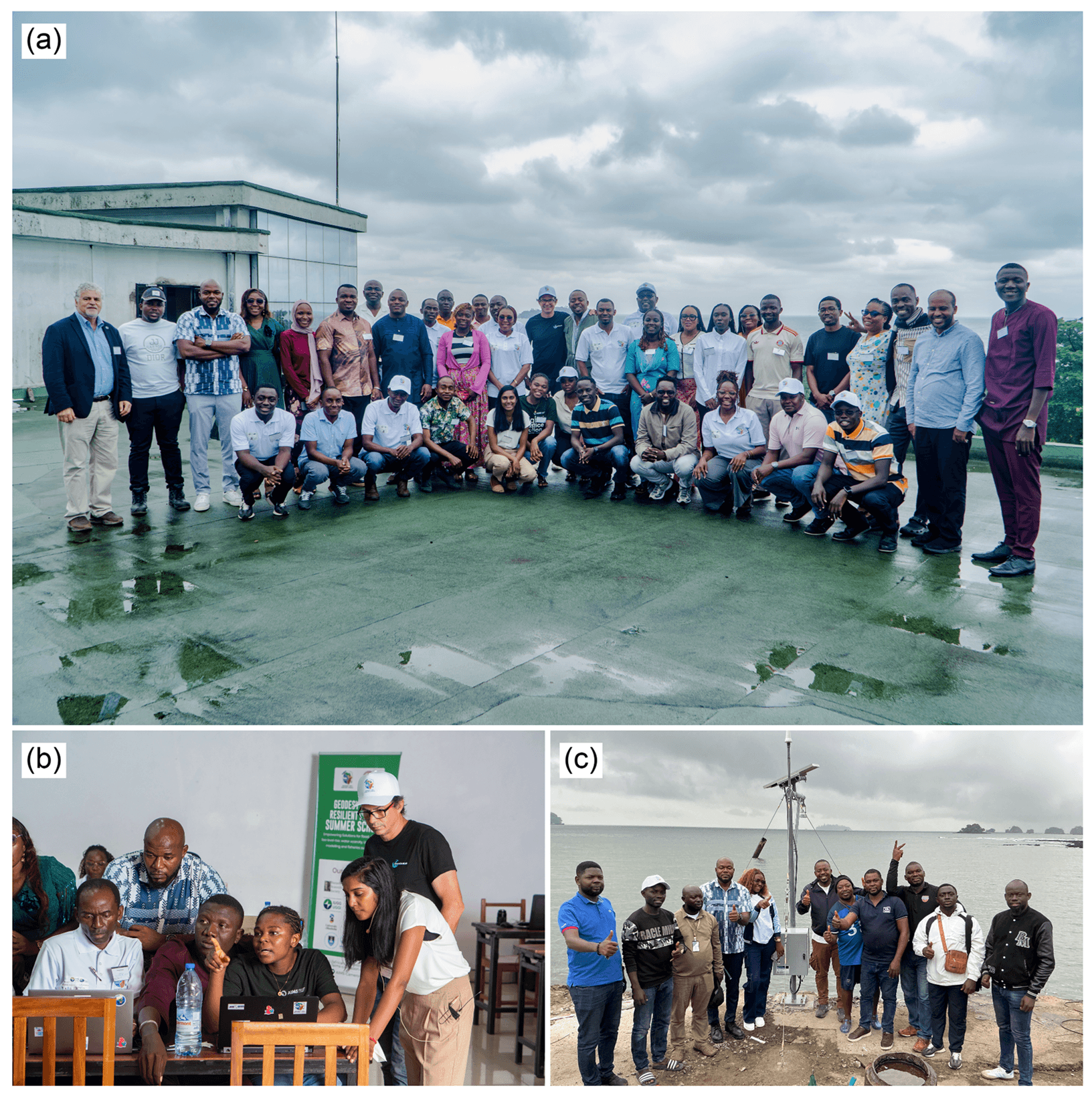
Figure 2. (a) Group photo of summer school participants with the lecturers. (b) Summer school trainees during practical exercises, assisted by the lecturers. Both (a) and (b) were taken at AIMS-Cameroon, which hosted the event (photo credit: Joseph Esaka). (c) Port Authority staff, summer school trainees, and lecturers at the Limbe Port Authority jetty following the tide gauge deployment (photo credit: Franck Ghomsi).
A major legacy of the programme was the installation of a high-resolution tide gauge at Limbe Port Authority, Southwest Cameroon, at the close of the school. The instrument was obtained through the Canada 150 Excellence Research Chair programme, led by Prof. Julienne Stroeve at the Centre for Earth Observation Science, University of Manitoba. Through this support, Dr. Franck Ghomsi secured funding to acquire two tide gauges, including the instrument deployed in Cameroon. He personally brought the tide gauge to Cameroon, formally handed it over to the National Institute of Cartography of Cameroon, and supported its deployment at Limbe Port Authority to ensure long-term national ownership and operation. This installation helps address a critical observational gap in the Gulf of Guinea, one of Africa’s most vulnerable coastal regions for sea-level rise and subsidence. It now provides an important in situ reference for validating satellite altimetry, monitoring relative sea-level change, and supporting coastal hazard assessment, turning the summer school into a lasting contribution to African observational capacity.
The success of this first-of-its-kind school was made possible through the commitment of its funding and partner institutions. Their support enabled open, accessible, and high-quality training, widened participation across the continent, and helped establish both a scientific community and physical infrastructure that will continue to generate impact beyond the week itself.
All materials are openly available at: https://doi.org/10.5281/zenodo.21880111 (no longer available)
Principal funders: COSPAR | Nansen-Tutu Centre & WAM Project, University of Cape Town | Nansen Scientific Society | Centre for Earth Observation Science, University of Manitoba | IUGG
Author: Franck Ghomsi (Reviewed by Rebekka Steffen)



