 © GGOS
DORIS – Doppler Orbitography and Radiopositioning Integrated by Satellite
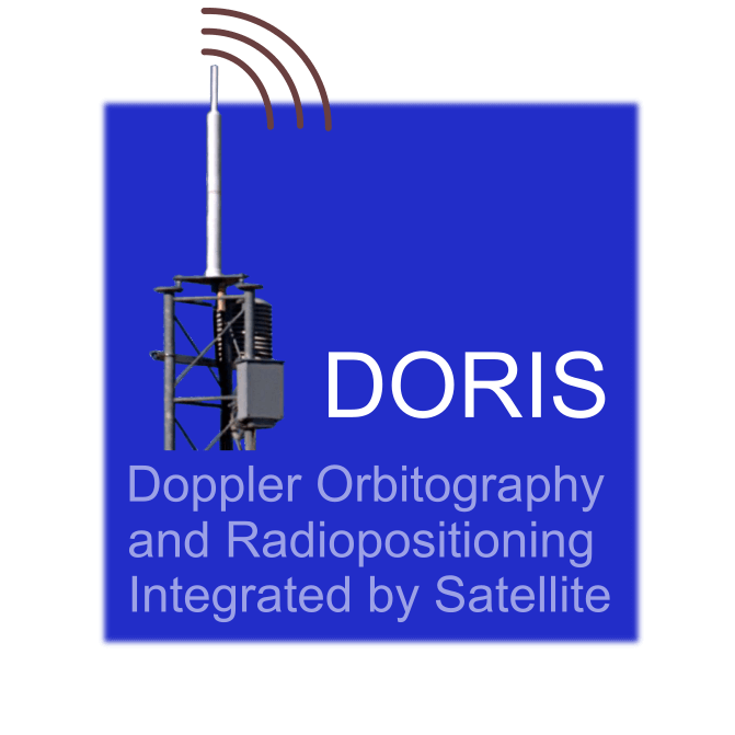
DORIS (Doppler Orbitography and Radiopositioning Integrated by Satellite) is a French satellite system used for precise orbit determination and geodetic positioning. It operates by transmitting radio signals from ground beacons to satellites, where the Doppler shift of the received signals is measured to determine relative motion and distance. Since the transmitters are on the ground and receivers are onboard satellites, DORIS functions in an uplink mode, opposite to typical GNSS systems. The system provides centimetre-level orbit accuracy for satellites—particularly altimetry missions—and contributes to the positioning of ground stations, monitoring of Earth rotation and geocenter motion, and the realization of the global reference frame. Its infrastructure consists of about 50–60 globally distributed ground beacons, ultra-stable oscillators, a control segment, and satellites equipped with DORIS receivers.

