 https://geodesy.science/wp-content/uploads/AdobeStock_170412838_edit-scaled-1.jpeg
2165
2560
Martin Sehnal
https://geodesy.science/wp-content/uploads/IAG-logo-web.png
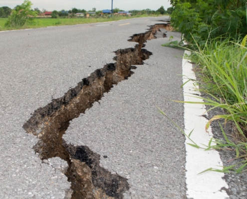
Martin Sehnal2024-05-02 12:57:202025-02-05 10:55:48Artificial Intelligence for Geodesy in support of Natural Disaster Management
https://geodesy.science/wp-content/uploads/AdobeStock_170412838_edit-scaled-1.jpeg
2165
2560
Martin Sehnal
https://geodesy.science/wp-content/uploads/IAG-logo-web.png
Martin Sehnal2024-05-02 12:57:202025-02-05 10:55:48Artificial Intelligence for Geodesy in support of Natural Disaster Management https://geodesy.science/wp-content/uploads/geodesyNews_AdobeStock_441614817.jpeg
576
1170
admin
https://geodesy.science/wp-content/uploads/IAG-logo-web.png
admin2023-10-16 00:00:002025-03-04 08:53:12Geodesy: It’s about Time
https://geodesy.science/wp-content/uploads/geodesyNews_AdobeStock_441614817.jpeg
576
1170
admin
https://geodesy.science/wp-content/uploads/IAG-logo-web.png
admin2023-10-16 00:00:002025-03-04 08:53:12Geodesy: It’s about Time Pexels free
https://geodesy.science/wp-content/uploads/pexels-porapak-apichodilok-346885_square-scaled-1.jpg
2553
2560
Martin Sehnal
https://geodesy.science/wp-content/uploads/IAG-logo-web.png
Martin Sehnal2022-06-01 11:00:162025-02-05 11:57:45Geodesy 2030
Pexels free
https://geodesy.science/wp-content/uploads/pexels-porapak-apichodilok-346885_square-scaled-1.jpg
2553
2560
Martin Sehnal
https://geodesy.science/wp-content/uploads/IAG-logo-web.png
Martin Sehnal2022-06-01 11:00:162025-02-05 11:57:45Geodesy 2030Measure Gravity with Atoms
 Pixaby freeUse
https://geodesy.science/wp-content/uploads/clocks-g2f49c3979_1920_pixabay_freeuse.jpg
1204
1194
Martin Sehnal
https://geodesy.science/wp-content/uploads/IAG-logo-web.png
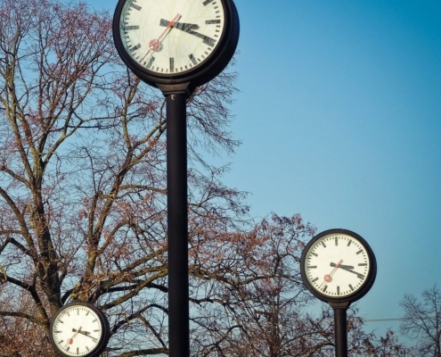
Martin Sehnal2022-03-09 12:00:572025-02-05 12:00:52Geodetic Observation:
Pixaby freeUse
https://geodesy.science/wp-content/uploads/clocks-g2f49c3979_1920_pixabay_freeuse.jpg
1204
1194
Martin Sehnal
https://geodesy.science/wp-content/uploads/IAG-logo-web.png
Martin Sehnal2022-03-09 12:00:572025-02-05 12:00:52Geodetic Observation:Measure Heights with Clocks
https://geodesy.science/wp-content/uploads/geodesyNews_AdobeStock_441614817.jpeg
576
1170
admin
https://geodesy.science/wp-content/uploads/IAG-logo-web.png
admin2022-02-19 00:00:002025-10-06 12:35:30Mission Earth – Geodynamics and Climate Change Observed Through Satellite Geodesy
https://geodesy.science/wp-content/uploads/geodesyNews_AdobeStock_441614817.jpeg
576
1170
admin
https://geodesy.science/wp-content/uploads/IAG-logo-web.png
admin2018-06-27 00:00:002018-06-27 00:00:00To benefit society and science
https://geodesy.science/wp-content/uploads/geodesyNews_AdobeStock_441614817.jpeg
576
1170
admin
https://geodesy.science/wp-content/uploads/IAG-logo-web.png
admin2017-08-28 00:00:002017-08-28 00:00:00NASA, Norway to Develop Arctic Laser-Ranging Station
