GGOS Topical Meeting on Geohazards: Meeting Summary
The GGOS Topical Meeting on Geohazards was held on 2 October 2026 at Lantmäteriet in Gävle, Sweden, bringing together 120 participants from 34 countries, including 53 on-site and 67 online participants, of whom 33 were Early Career Scientists (ECS). The meeting aimed to explore how geodetic techniques and infrastructures can contribute more effectively to the monitoring of natural hazards and, in particular, how scientific developments can be translated into operational services supporting early warning and disaster response. It featured 11 presentations across three thematic sessions: InSAR Key Applications, Continuous Monitoring Based on InSAR, and Regional Initiatives Integrating GNSS and InSAR Techniques. The presentations covered a broad range of applications, including earthquake and volcanic monitoring, landslides, land subsidence, groundwater depletion, coastal processes and infrastructure deformation. Experiences from Europe, Japan, the United States, Australia and New Zealand demonstrated the growing maturity of operational InSAR services and the benefits of combining spatially detailed satellite observations with continuous GNSS measurements. The discussions also highlighted the importance of long-term observation networks, data processing and archiving capabilities, real-time services, and the effective integration of geodetic products into emergency response and decision-making processes.
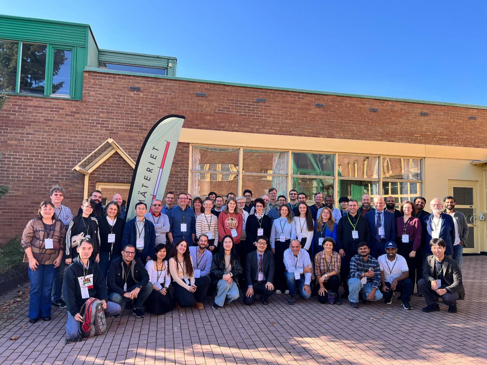
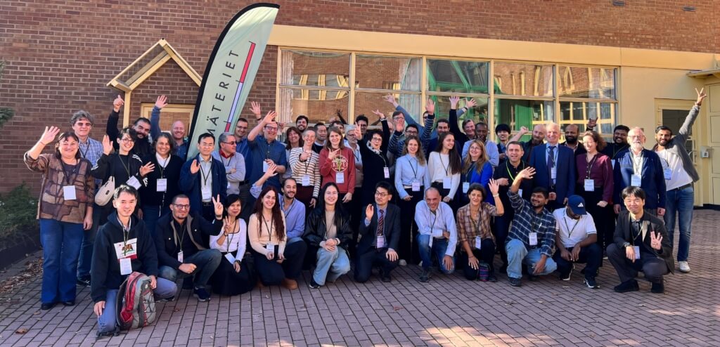
Participants attending the GGOS Topical Meeting on Geohazards in person at Lantmäteriet in Gävle, Sweden, on 2 October 2026.
A central conclusion was that further progress towards reliable operational geohazard monitoring requires stronger involvement of the geodetic community, particularly in network design, reference-frame realization, uncertainty assessment and independent validation. The complementary use of GNSS and InSAR was identified as essential for providing reliable, spatially comprehensive and traceable deformation information. The discussions also emphasized the importance of SAR fiducial infrastructure, including co-location with GNSS stations, and the need for common practices concerning installation, documentation and long-term maintenance. Building on these discussions, several potential follow-up activities for GGOS were identified: developing common approaches to uncertainty assessment and validation; coordinating SAR fiducial networks; providing guidance on geodetic traceability and GNSS–InSAR integration; and strengthening engagement with operational users through training and practical use cases. Finally, the meeting raised the opportunity to further develop the contribution of InSAR-derived ground-motion products to the Essential Geodetic Variables (EGV) framework, including explicit requirements for uncertainty, reference-frame connections, and spatial and temporal resolution.
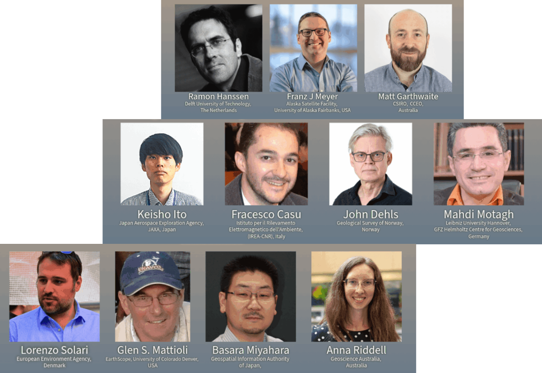
Key speakers at GGOS Topical Meeting on Geohazards
We thank all participants for their interest in GGOS activities, for taking part in the meeting, and for their active engagement and stimulating contributions to the discussions. We would also like to express our sincere gratitude to the invited speakers for sharing their expertise and stimulating the discussions, and to Lantmäteriet for hosting the meeting and providing such a welcoming setting. Special thanks go to Martin Lidberg, Rebekka Steffen, Faramarz Nilfouroushan and Holger Steffen for their valuable contributions and support in making the meeting a success.
Event Links & Materials:
- Meeting Programme & Abstracts: geodesy.science/events/ggos-topical-meeting-geohazards/
- Presentation Slides: Zenodo Topical Meeting Community
- Video Recordings: YouTube Topical Meeting Playlist
Authors: Laura Sánchez (President of GGOS), Martin Sehnal (Director of the GGOS Coordinating Office)