Reference System
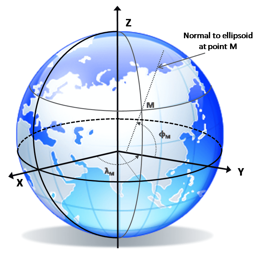 A reference system is a theoretical framework that defines the origin, orientation, scale, and axes used to describe positions and motions on or near the Earth. It provides the conceptual basis for expressing coordinates in a consistent and unambiguous way, supporting applications in geodesy, mapping, navigation, and Earth observation. Reference systems ensure that measurements made at different locations and times can be interpreted within a common geometric framework.
In practice, a reference system is realized through a reference frame, which represents its physical realization based on observations at geodetic stations or space geodetic measurements. Examples include global realizations such as the International Terrestrial Reference Frame (ITRF) or WGS84, where station coordinates and velocities define the practical coordinate framework used for positioning, satellite navigation, and geodetic monitoring.

