 © GGOS
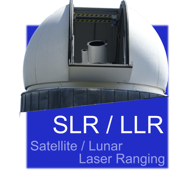
SLR – Satellite Laser Ranging
Satellite Laser Ranging is a high-precision geodetic technique that measures the distance between ground-based laser stations and satellites equipped with retroreflectors. Short laser pulses are sent to the satellite and reflected back, and the round-trip travel time is used to determine the satellite’s distance with millimeter accuracy. SLR data are crucial for determining the exact orbits of satellites, monitoring Earth’s center of mass, and studying geophysical processes such as tectonic plate motion and sea-level change. It also contributes to the realization and maintenance of the International Terrestrial Reference Frame (ITRF).

