REFAG2026: Early bird registration deadline – 15 December 2025
This is a reminder to all colleagues interested in participating in the next IAG Symposium Reference Frames for Applications in Geosciences (REFAG2026), that early bird registration closes on 15 December 2025. The symposium will take place from 2 to 4 March 2026 in Munich, Germany.

New IAG Publications | Geodesist’s Handbook 2024 & IAG Travaux 2023–2025
The IAG has released two flagship open-access references: the Geodesist’s Handbook 2024 and the IAG Travaux Report 2023–2025. The Handbook presents IAG statutes, structure, officers, and planned scientific activities, while the Travaux documents scientific and organizational progress across all IAG components. Both volumes provide DOIs for the full work and for each chapter, supporting precise citation and strengthening the international visibility of IAG activities.
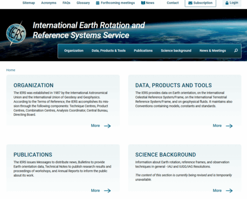
IERS | Relaunch of the Website www.iers.org
We are pleased to announce that, as of November 10, the IERS website has been relaunched and is now available in its updated form at www.iers.org. The main focus of this update was the modernization of the layout. The structure and the overall navigation have not changed significantly, ensuring that information may still be accessed in the familiar manner. In the course of the relaunch, we also took the opportunity to review and, where appropriate, update the content. We invite you to explore the new website and welcome any feedback or suggestions you may have.
TIGER Symposium in Geodesy 2026 | Save the date: Sept. 28 – Oct. 1
We will be hosting the TIGER Symposium in Geodesy 2026 in Gävle, Sweden. The symposium is organized by the International Association of Geodesy (IAG) Commission 3 and will bring together scientists working on Earth rotation, geodynamics, crustal…
IGS Workshop 2026
The International GNSS Service Workshop 2026 will be held 1–5 June 2026 at the Intercontinental Santiago, Chile. The workshop will gather global experts in GNSS and geodesy to share insights, showcase innovations, and shape the future of geodetic infrastructure.
IDS DORIS School | DORIS Days 2025
The IDS organizes new “DORIS Days” for early-career researchers and students, featuring online sessions on 3 November and a hybrid workshop on 5 November in Athens. Topics include the DORIS system, IDS applications, and hands-on data processing with Jupyter Notebook.
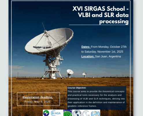
16th SIRGAS School: “VLBI and SLR Data Processing”
The 16th SIRGAS School (San Juan, Argentina | Oct 27–Nov 1, 2025) will train professionals in VLBI and SLR data processing, strengthening geodetic capacities in Latin America through theory and practice at the Félix Aguilar Astronomical Observatory. Join us.
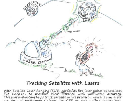
Satellite Laser Ranging – How SLR Powers Geodesy
Discover Satellite Laser Ranging (SLR) – lasers from ground stations measure satellite and Moon positions with millimeter precision. SLR supports the Terrestrial Reference Frame, tracks Earth rotation, tectonic motion, improves gravity and sea level models, and tests relativity. Explore the science behind these precision measurements in our Geodesy Cartoon.
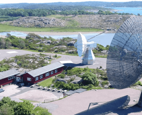
IVTW2025 – 10th International VLBI Technology Workshop
This VLBI Workshop will be held October 21–25, 2025, at Chalmers University of Technology, Gothenburg, Sweden. It gathers global experts to discuss VLBI advancements, including station systems, recording, correlation, imaging, and space VLBI. Participants can visit Onsala Space Observatory and receiver clean rooms. Abstract submission closes September 1.
GGOS Days 2025 – Invitation
Join us for GGOS Days 2025, held 1–5 September in Rimini, Italy, alongside the IAG2025 Scientific Assembly. Discover the latest GGOS achievements and challenges, connect with the community, and access contributions later in the GGOS Cloud.


