Satellite Laser Ranging – How SLR Powers Geodesy
Imagine pointing a laser at the sky and catching its reflection back from a satellite thousands of kilometers away. That’s the magic of Satellite Laser Ranging (SLR)!
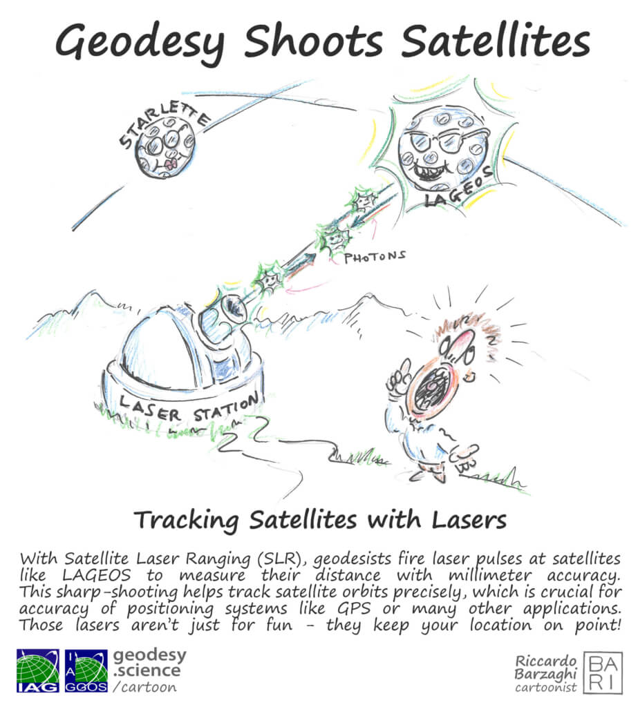
Our new Geodesy Cartoon shows how ground stations shoot ultra-short laser pulses to satellites (and even to reflectors left on the moon). By measuring the exact round-trip travel time of the laser light, scientists can pinpoint satellite positions with millimeter precision.

Why it matters
SLR is more than just a cool laser show – it’s a cornerstone of modern geodesy. It helps us:
- Define and maintain the Terrestrial Reference Frame – the foundation for all Earth measurements
- Monitor polar motion and Earth’s rotation
- Track tectonic plate movement and crustal deformation
- Improve models of Earth’s gravity field and sea level change
- Test theories of relativity and explore the Earth–Moon system through Lunar Laser Ranging (LLR)
With about 40 global SLR stations and 4 lunar-ranging stations managed by IAG’s International Laser Ranging Service ILRS, this network keeps Earth observation and satellite navigation systems anchored in reality. Discover the science behind the laser beams that keep our reference frame precise – and our planet’s dynamics understood.
Explore SLR – Satellite Laser Ranging
More Geodesy Cartoons
Author: Martin Sehnal (Director of GGOS Coordinating Office)

