ITRF – International Terrestrial Reference Frame
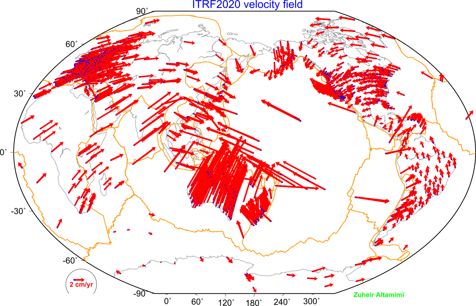 The ITRF is a global geocentric reference frame that provides precise coordinates and velocities for points on the Earth’s surface. It is realized by combining measurements from space geodetic techniques such as GNSS, VLBI, SLR, and DORIS, ensuring high accuracy and consistency over time. In geodesy, the ITRF serves as the foundation for mapping, navigation, Earth deformation studies, sea level monitoring, and connecting terrestrial observations with celestial reference frames like the ICRF.
More Info:

