 © ROB (http://gnss.be)
Reference Frame
 Reference frames are the practical realizations of standardized coordinate systems that provide the basis for determining positions, velocities, and geometric relationships on or near the Earth. They define the origin, orientation, scale, and temporal stability required to express coordinates consistently. By linking observations from different measurement techniques and epochs, reference frames enable precise geolocation, satellite navigation, Earth observation, and the monitoring of geodynamic processes such as plate motion, sea-level change, and mass redistribution within the Earth system.
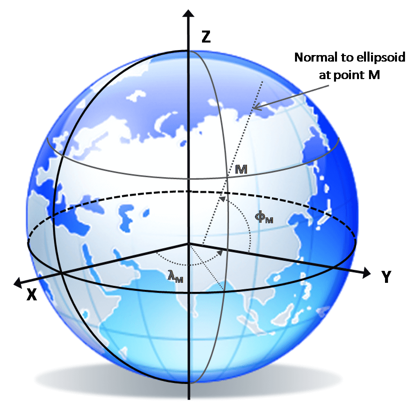
In geodesy, several types of reference frames are required to describe different aspects of the Earth and its environment. The terrestrial reference frame defines positions on the rotating Earth, while the celestial reference frame provides a quasi-inertial reference based on distant extragalactic radio sources for describing Earth orientation and satellite motion. Complementary frames include the height reference frame, which defines physical heights relative to the Earth’s gravity field, and the gravity reference frame, which ensures consistent measurements of gravitational acceleration worldwide. Together, these frames form the fundamental geodetic infrastructure that allows diverse geoscientific observations and datasets to be integrated in a consistent global framework.
More Info:

