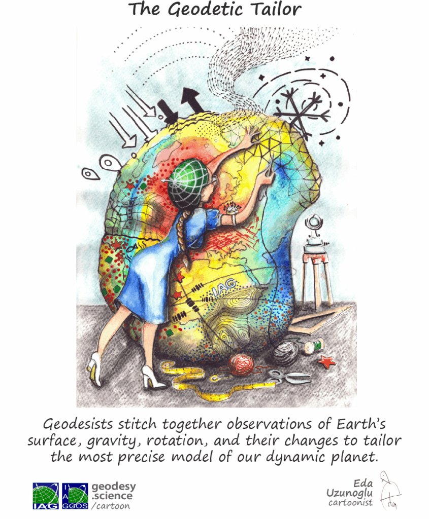
What is Geodesy?
The Earth is a restless planet. It is subject to a wide range of external and internal processes that change its shape (including continental, oceanic and ice-covered areas), the distribution of mass between and within its components (geosphere, biosphere, cryosphere, hydrosphere and atmosphere), and its rotation and orientation in space. The task of geodesy is to
determine the size, shape, gravity field and rotation of the Earth
as a function of space and time. These properties react together, albeit in different ways, to processes in each of the components of the Earth system. Therefore, in order to achieve its primary objective, geodesy is necessarily involved in the detection, analysis and modelling of the signals emitted by the Earth system, in particular those recorded by geodetic observations. In this way, geodesy is able to monitor the Earth system and measure global change, serving science and society far beyond the traditional task of measuring and mapping the Earth’s surface.
What Geodesy Measures and Why It Matters?
Geodesy involves measuring and understanding the Earth’s geometric and physical properties, including
- Determining exact locations (latitude, longitude and altitude)
- Developing coordinate systems (reference frames) for mapping, navigation and Earth observation
- Monitoring the Earth’s gravity field
- Measuring variations of the Earth rotation
- Tracking the movement of tectonic plates and surface deformation
- Measuring sea level changes, ice melting and global water cycle
- Detecting environmental changes
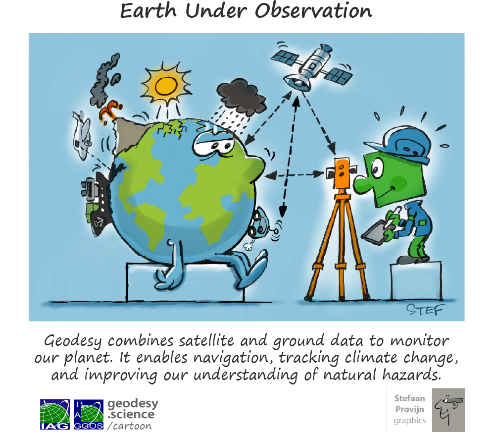
Geodesy is essential for satellite positioning applications such as GNSS (Global Navigation Satellite Systems), observation of the Earth from satellites, land management and climate studies. It uses space and ground-based technologies to ensure accurate measurements.


Geodesy in Everyday Life
Empowering Society and Shaping Our Future
Framing our World
Providing the Basis not only for Positioning, Navigation, and Timing but also for Earth System Monitoring
Imagine trying to navigate on a changing planet without a stable frame of reference — it would be like trying to measure the displacement of one moving object from another moving object. Geodetic reference frames, such as the International Terrestrial Reference Frame (ITRF), provide the invisible but essential foundation for everything from GNSS navigation and satellite-based Earth observation to climate monitoring and disaster management. Recognized by the United Nations as a key tool for sustainable development, these reference frames allow scientists to detect even the tiniest shifts in the Earth’s surface, help governments coordinate consistent geographic data across borders, and tell you where you are when you ask your mobile phone. Without them, modern life and science would be unthinkable.
Find out how much your daily life depends on reference frames!
What would a day without satellites look like?
Shaping the Path
Geodesy’s Central Role in Navigation and Mobility
From autonomous vehicles to aircraft navigation and the smartphone in your pocket, modern mobility depends on geodesy. Global Navigation Satellite Systems (GNSS), such as GPS, GLONASS, GALILEO and BDS, rely on precise geodetic reference frames to determine position anywhere on Earth and in space at any time. This geodetic backbone enables, among many others, safe air travel, guides rescue teams during disasters, and powers location-based services used by billions of people every day. For researchers it is the main tool for detecting and understanding changes in the Earth system; for society, it is the hidden foundation for infrastructure development and helps us move through the world with confidence.
Saving Lives
Geodesy in Disaster Management and Risk Reduction
When every second counts, geodesy can make the difference between safety and catastrophe. By enhancing early warning systems for earthquakes, tsunamis, and volcanic eruptions, geodetic technologies such as GNSS are helping to save lives. For example, GNSS-based Tsunami Early Warning Systems (GTEWS) can detect atmospheric disturbances caused by tsunamis in real time, providing valuable minutes of warning. But the role of geodesy goes even further — satellite geodetic data help monitor land subsidence, glacier collapse, and sea level rise, all of which are critical to understand long-term risks. Governments and emergency services depend on this data to improve preparedness, create evacuation plans, and build resilient infrastructure. In a world of increasing environmental hazards, geodesy is a silent but powerful ally in protecting lives and livelihoods.
Want to see how it works on the front lines of disaster response?

")
Building the Future
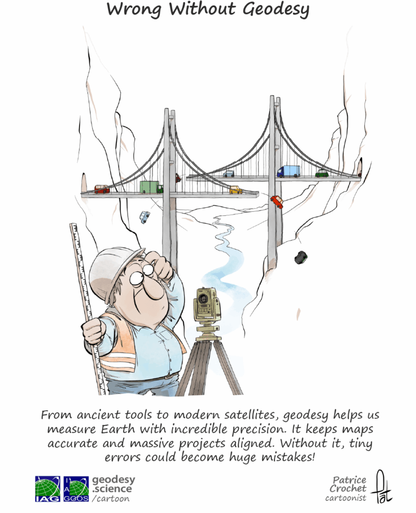
Geodesy in Urban Planning and Infrastructure
Modern cities need solid foundations — and not just in concrete. Geodesy provides the precise position and elevation data that urban planners and engineers rely on to design infrastructure, manage land and resources efficiently, monitor deformation, and ensure structural safety. From tunnels and bridges to high-speed rail and smart cities, geodetic measurements support long-term stability and resilience. Accurate geospatial data helps policymakers make informed decisions about land use, risk zones, and sustainable development. As climate change and rapid urbanization reshape our world, geodesy ensures that the cities of tomorrow are not only innovative, but also safe, efficient, and durable.
Are you curious about how geodesy shapes the spaces we live in?
Keeping Time
The Crucial Link Between Geodesy and Timekeeping
Time may seem constant, but even our clocks depend on the changes of our dynamic planet — and that is where geodesy comes in. The rotation of the Earth and even tiny shifts in its mass all affect how we define and keep time. Geodesy helps to synchronize atomic clocks with the actual motion of the planet, ensuring the accuracy of global time systems such as the Coordinated Universal Time (UTC). This precision is essential for satellite navigation, telecommunications, financial transactions, and scientific research. Without geodesy, our modern timekeeping would drift — literally.
Do you want to know how measuring Earth keeps the world on time?
")
About Geodesy | The Earth
Geodesy and the Precise Measurement of Our Planet

Earth’s Surface
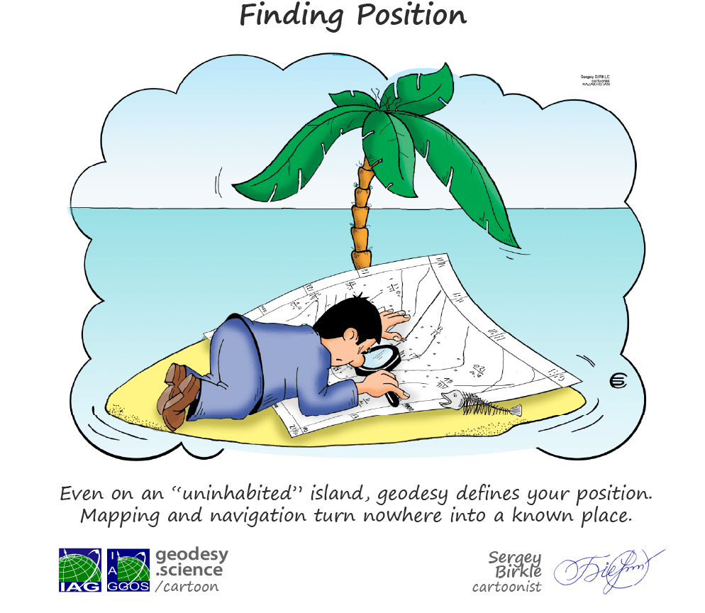
The Exact Geometric Form of our Globe?
Where does the land begin and the sea end? How high is a mountain, how deep are the oceans? Geodesy provides the precise measurements needed to model the Earth’s surface in detail — its shape, elevation, and features. This knowledge forms the foundation for accurate maps, national borders, infrastructure planning and management, and environmental monitoring. Scientists use geodetic surface models (on land and sea) to study sea level rise, landslides, and natural hazards, while governments rely on them to manage land resources and respond to climate challenges. Whether it is guiding global navigation or informing local development, geodesy ensures that we really know the ground we are standing on.
Curious about how we transform the complex shape of Earth into actionable knowledge?
Gravity is much more than a force that keeps us on the ground — it is critical to understanding the structure and changes of the Earth system. Geodesy measures gravity variations to construct detailed models of the Earth’s gravity field, revealing the distribution and transport of mass beneath the surface. These gravity models are essential for accurate height determination, allowing us to measure precise elevations and topographies, from mountain peaks to ocean floors, but also the height of the ocean surface. Temporal variations in the gravity field, such as those caused by melting ice or shifting tectonic plates, provide valuable insights into global processes such as climate change and mass transport between and within the different components of the Earth system. By combining satellite gravimetry with terrestrial gravity data, scientists can better understand phenomena such as sea level rise, ice sheet dynamics, and gravity anomalies. The study of gravity is key to monitoring the Earth’s motion, enhancing our knowledge of its evolution, and supporting applications in navigation, climate science, and environmental protection.
")
")
Earth in Motion
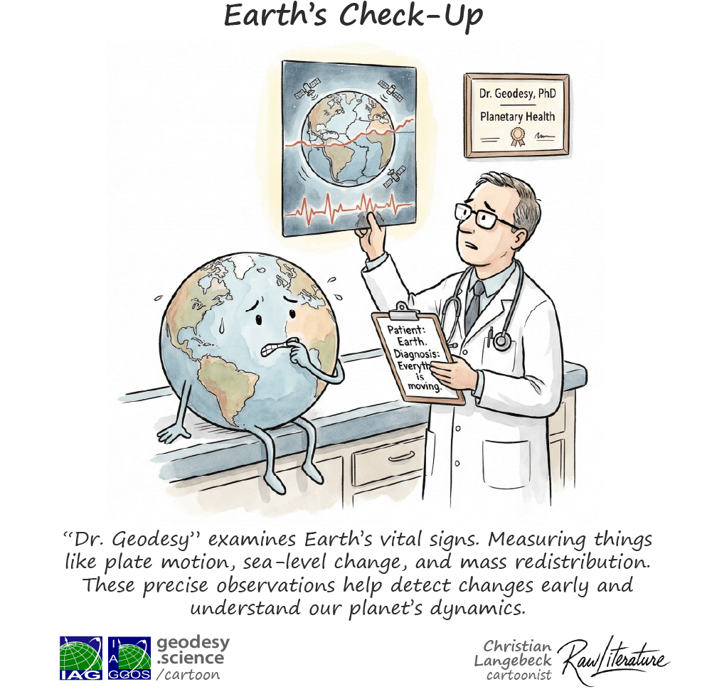
Monitoring a Changing Planet
Our planet is constantly moving — tectonic plates shift, glaciers melt, sea level rise, and gravity itself changes over time. Geodesy allows us to measure, monitor and understand these dynamic processes with millimeter precision. By monitoring crustal movements, earthquake effects, and volcanic activity, geodesy contributes to risk reduction and geological/geophysical understanding. At the same time, satellite-based geodetic measurements are vital for tracking climate change, showing how ice sheets shrink, oceans expand, and the Earth’s mass redistributes. This data is essential for environmental policy, international climate agreements, and scientific models of future change. At a time of global transformation, geodesy gives us the tools to understand, adapt, and protect our planet.
Would you like to learn how geodetic observations enable continuous monitoring of our planet?
About Geodesy | The Earth in Space
Geodesy’s Role Beyond Earth
Observation from Space
Quantifying changes in the Earth System through Satellites
The Earth is under constant observation by an increasing number of satellites orbiting our planet, forming a network of space-based observatories that provide insight “from above” into the movements and transformations of our planet. Dedicated satellite missions monitor different components of the Earth system: atmosphere (air), hydrosphere (water), cryosphere (frozen water), lithosphere (solid Earth) and biosphere (living beings), providing critical data on climate change, geophysical processes and human-induced transformations. Geodesy is responsible for the accurate determination of satellite orbits, which in turn are essential for reliable measurements of the changing Earth.
Want to know why satellite-based Earth observation would not be possible without geodesy?
")

The Rotation of the Earth
How Geodesy Tracks the Rotation of our Planet
Why are the days getting longer, and why is the Earth wobbling? Geodesy answers these questions by monitoring the Earth’s rotation through Earth Orientation Parameters (EOPs). These parameters track shifts in the Earth’s axis and orientation, which are influenced by the atmosphere, oceans, and solid Earth. Using geodetic techniques such as GNSS, VLBI, SLR, and DORIS, geodesy measures these changes with precision, supporting satellite navigation, orbit determination, and time systems. The International Celestial Reference Frame (ICRF) links Earth to space by cataloging extragalactic radio sources and providing an accurate celestial reference. This knowledge deepens our understanding of the Earth’s dynamics, including the effects of climate change and geophysical processes on its rotation. Geodesy keeps us in sync with the Earth’s motion, which is crucial for global reference frames and climate research.
Measuring the Space
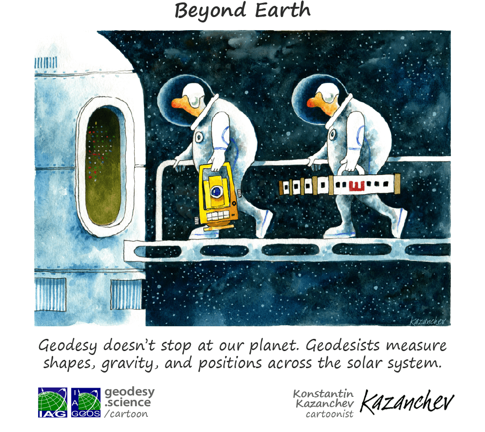
Geodesy’s Role in Space Exploration
Geodesy not only measures the Earth, but also extends its reach into space, playing an essential role in the exploration of the Moon and planets. The International Celestial Reference Frame (ICRF) is a key component in linking Earth-based observations to the wider cosmos. By providing a precise celestial reference frame, the ICRF supports satellite navigation, space missions, and the accurate determination of spacecraft trajectories. As humanity ventures further into space, geodesy ensures that we can navigate and study distant planetary bodies with the same level of precision that we use to map the Earth. For planetary exploration, a planetary geodetic reference system is equally important, allowing us to establish accurate coordinates and monitor the surface movements of other bodies such as Mars or the Moon. This is crucial for mission planning, surface exploration, and understanding the geophysical properties of other worlds. Geodesy thus acts as the foundation for our growing understanding of space and the successful navigation of space missions, from Earth to the far reaches of the Solar System and beyond.
Want to know how Geodesy helps to explore the Universe?

This page was prepared by Martin Sehnal, Laura Sánchez and Detlef Angemann.
IAG as part of the IUGG

IAG Related Organisations
IAG collaborates closely with numerous organizations within geodesy and beyond. See the list for details.

![]()
This website is provided by the IAG Secretariat and the GGOS Coordinating Office, which are hosted by the BEV – Federal Office of Metrology and Surveying (Bundesamt für Eich- und Vermessungswesen) in Vienna, Austria.